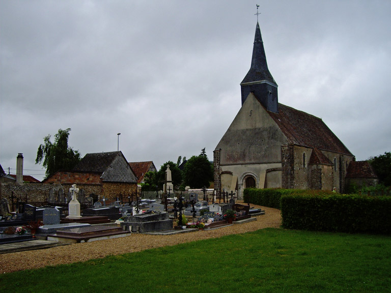
Epeautrolles Churchyard
- Country France
- Total identified casualties 1 Find these casualties
- Region Eure-et-Loir
- Identified casualties from Second World War
- GPS Coordinates Latitude: 48.31051, Longitude: 1.32641
Location information
Epeautrolles is a village 20 kilometres south-west of Chartres.
The one British grave in the churchyard is near the centre of the western wall.