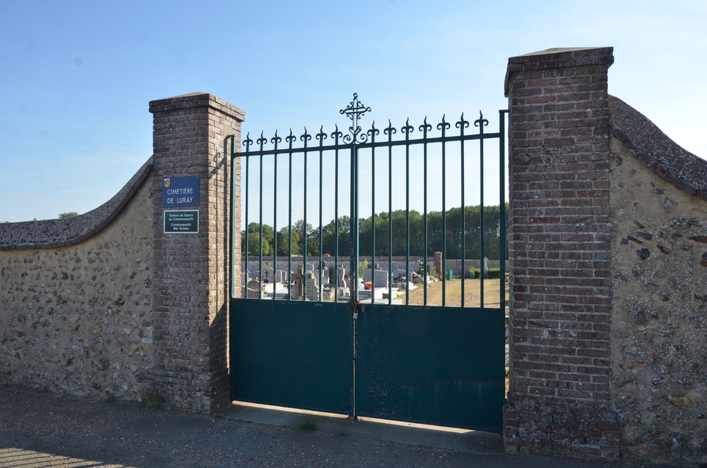
Luray Communal Cemetery
- Country France
- Total identified casualties 2 Find these casualties
- Region Eure-et-Loir
- Identified casualties from Second World War
- GPS Coordinates Latitude: 48.71801, Longitude: 1.41434
Location information
The village and commune of Luray lies about 3 kilometres south-east of Dreux, a town on the main road (N.12) from Paris to the west of France.
The cemetery is approximately a kilometre east of the village, on the D.929 road from Dreux to Nogent-le-Roi.
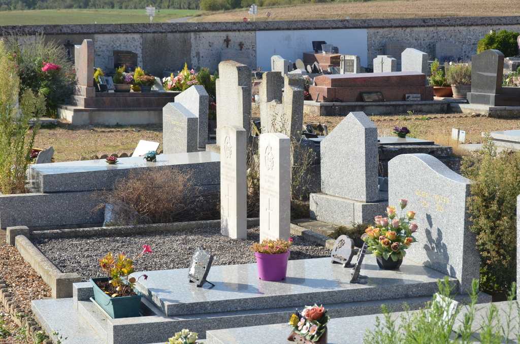
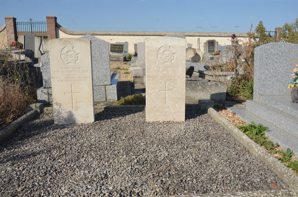
Near the centre of the cemetery are the graves of two airmen of the Royal Canadian Air Force who died during the 1939-1945 War.