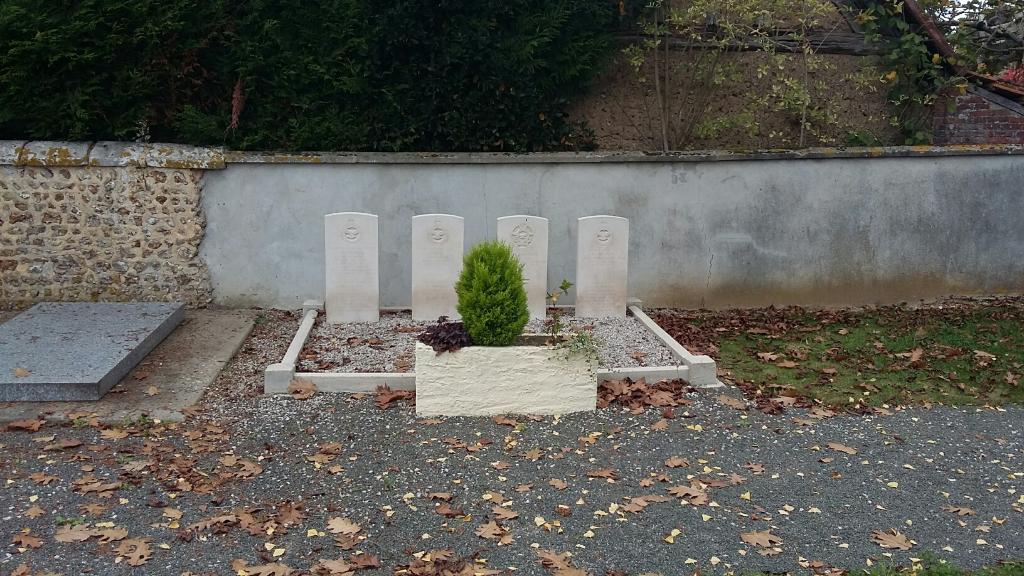
Magny Churchyard, Eure-Et-Loir
- Country France
- Total identified casualties 7 Find these casualties
- Region Eure-et-Loir
- Identified casualties from Second World War
- GPS Coordinates Latitude: 48.35024, Longitude: 1.26161
Location information
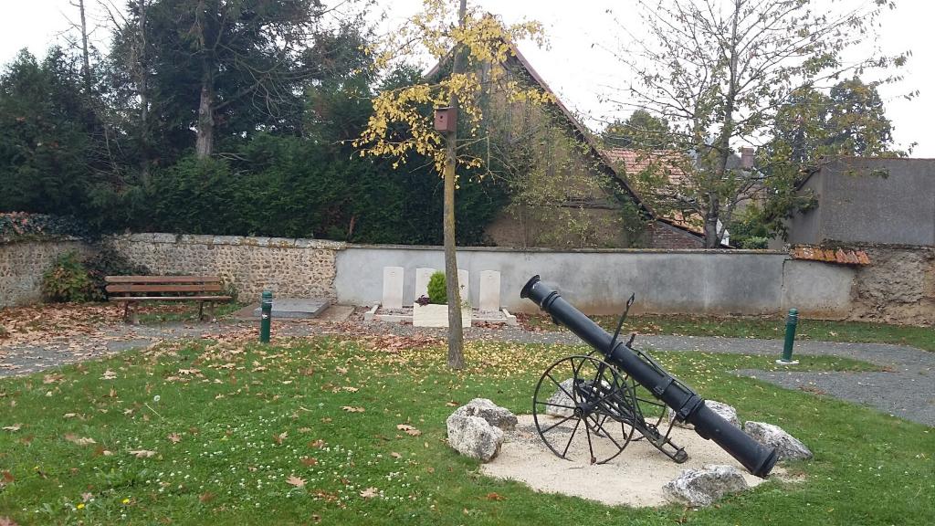
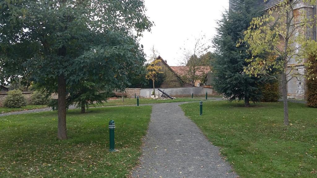
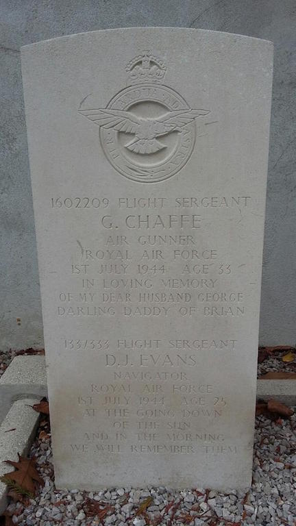
The village of Magny is 20 kilometres south-west of Chartres in the Department of Eure-et-Loir. It is nearly 6 kilometres north of Illiers, a small town on the Paris-Chartres-Saumur railway line. The collective grave of six airmen is situated near the western wall of the churchyard, and south-west of the church.