Pontgouin Communal Cemetery
- Country France
- Total identified casualties 6 Find these casualties
- Region Eure-et-Loir
- Identified casualties from Second World War
- GPS Coordinates Latitude: 48.48021, Longitude: 1.16631
Location information
Pontgouin is a village and commune some 15.5 miles (25 kilometres) west-north-west of Chartres.
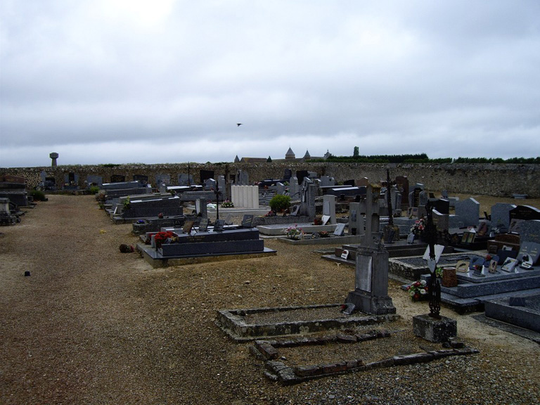
The cemetery is on the eastern side of the village, on the N.920 road to Courville-sur-Eure. In the north-eastern part are the graves of five airmen of the Royal Air Force and one who belonged to the Royal Australian Air Force.