Hermanville War Cemetery
- Country France
- Total identified casualties 903 Find these casualties
- Region Calvados
- Identified casualties from Second World War
- GPS Coordinates Latitude: 49.28633, Longitude: -0.30884


Go on a virtual visit to Hermanville War Cemetery
Hermanville War Cemetery has For Evermore tours available using the FREE app for mobile phones and tablets. The tours cover different aspects of the site and the Commonwealth servicemen and women we commemorate within the grounds.
The app can be used remotely or, If you are visiting the cemetery, you can use the tour to follow a path around it, reading the stories along the route. There is also a scan function allowing the user to scan a headstone and bring up the related casualty information throughout the cemetery.
The For Evermore app can be downloaded from the links below.
Access the Hermanville virtual tour via the For Evermore app, available on IOS and Android.
Download FREE app for iOS Download FREE app for Android
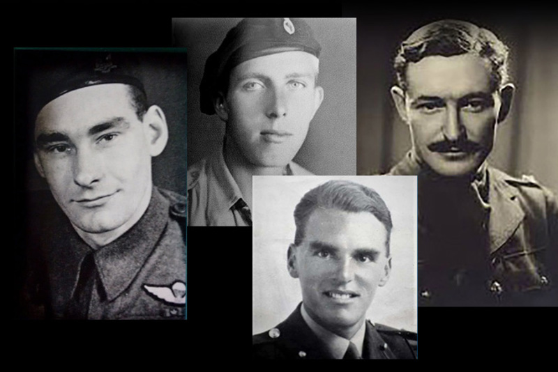
SHARE THE STORIES OF D-DAY AND NORMANDY
If you'd like to know more about who we commemorate, visit For Evermore: Stories of the Fallen, the CWGC online commemorative resource. Here you can read and share the fascinating stories from some of the people who took part in D-Day and Normandy Campaign.
Location information
Hermanville-sur-Mer lies 13 kilometres north of Caen on the road to Lion-sur-Mer (the D60). To reach the War Cemetery go northwards right through Hermanville; after leaving the church on your left, turn right. The gates to the War Cemetery will be found after 300 metres on the road "Rue du Cimetière Anglais".
Visiting information
ARRIVAL
The cemetery is signposted.
PARKING
There is a circular parking area to the front of the main entrance, with space for multiple vehicles. This parking area is within 3 metres of the main entrance.
ACCESS LAYOUT AND MAIN ENTRANCE
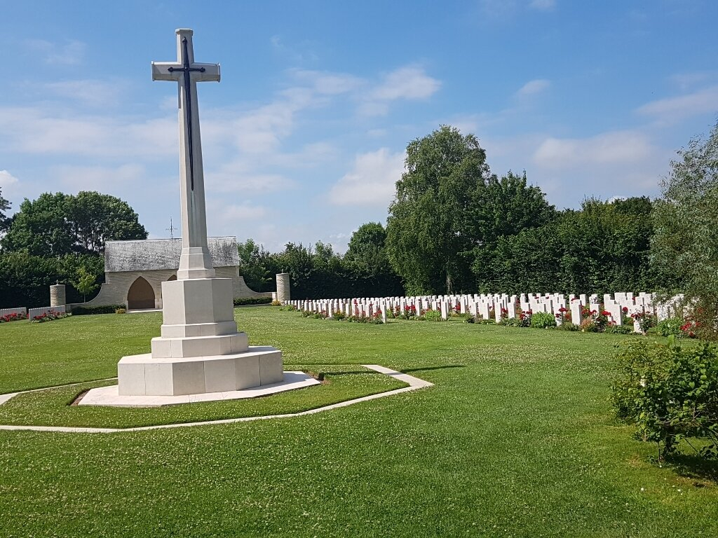
The cemetery is a large triangular shape with a wooded area on either side of the entrance to the cemetery and along the boundary of the adjacent farm track.
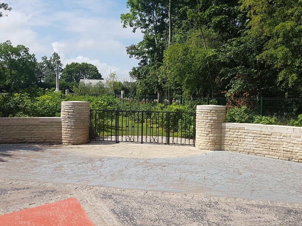
The main gate is located in the middle of a limestone wall with circular pillars at either side.
The main entrance has a low level (waist height), black metal gate. The latched double gate is 2 metres wide and opens into the cemetery.
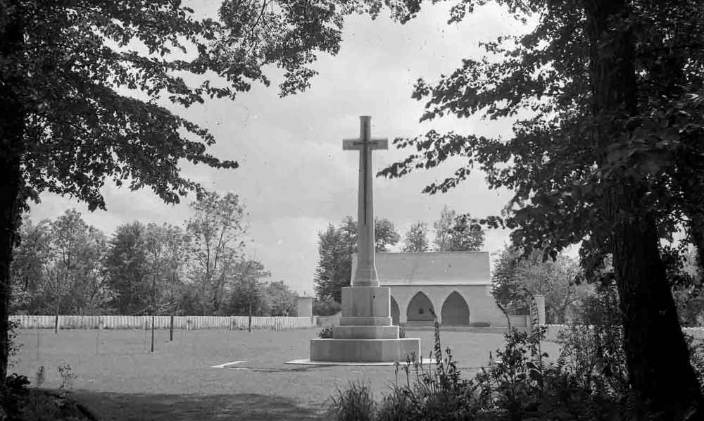
There is a circular concrete paved area in front of the main entrance. A circular stone paved area is located under the gate and leads directly onto grass with no level change. A grass pathway leads into the main part of the cemetery, with the Cross of Sacrifice in line with the pathway approximately 40 metres from the entrance.
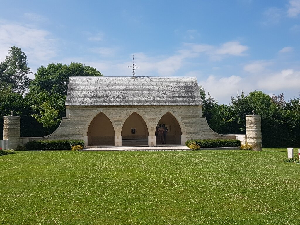
A large shelter building is located at the rear of the cemetery. A single step up, approximately 150 mm leads to a paved platform in front of the building, with another step up into the building via three stone archways.
The Register Box and three stone and timber benches are located inside the shelter building.
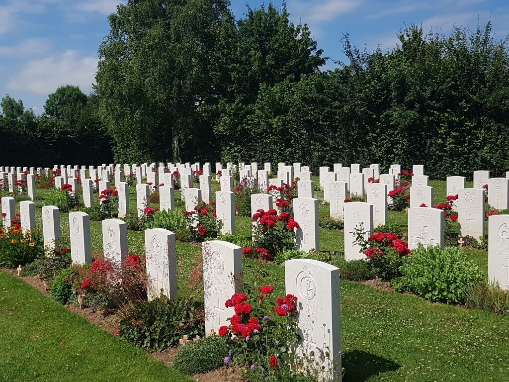
The ground surface is grass, the ground is flat and firm.
ALTERNATIVE ACCESS
There is no alternative access into the cemetery.
ADDITIONAL INFORMATION
The cemetery is permanently open.
History information
The Allied offensive in north-western Europe began with the Normandy landings of 6 June 1944.
The village of Hermanville lay behind Sword beach and was occupied early on 6 June by men of the South Lancashire regiment. Later the same day, the Shropshire Light Infantry supported by the armour of the Staffordshire Yeomanry managed to reach and hold Bieville-Benville, four kilometres to the south of Hermanville. Many of those buried in Hermanville War Cemetery died on 6 June or during the first days of the drive towards Caen.
The cemetery contains 1,003 Second World War burials, 103 of them unidentified.


