Hottot-Les-Bagues War Cemetery
- Country France
- Total identified casualties 1038 Find these casualties
- Region Calvados
- Identified casualties from Second World War
- GPS Coordinates Latitude: 49.16029, Longitude: -0.6263
Please note:
Following an accident, the entrance on the right side is no longer accessible. The left entrance remains accessible. We apologise for any inconvenience caused.

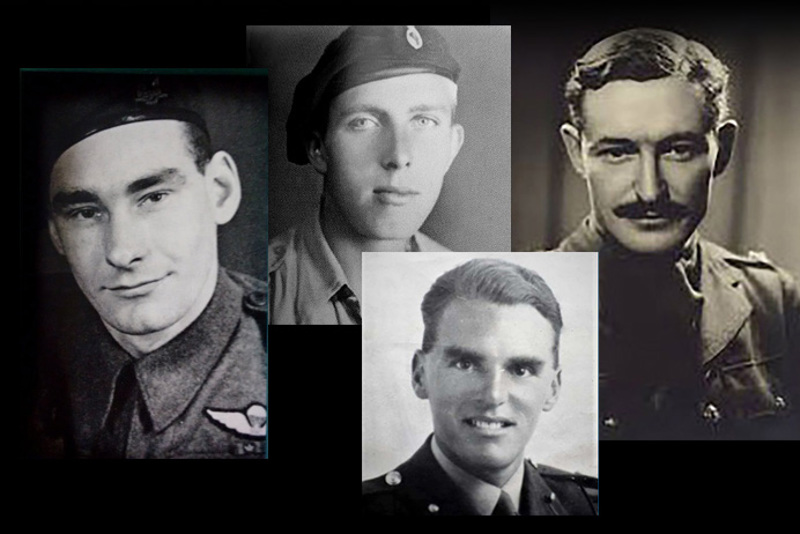
SHARE THE STORIES OF D-DAY AND NORMANDY
If you'd like to know more about who we commemorate, visit For Evermore: Stories of the Fallen, the CWGC online commemorative resource. Here you can read and share the fascinating stories from some of the people who took part in D-Day and Normandy Campaign.
Location information
Hottot-les-Bagues is a village 14 kilometres south-east of Bayeux.
This cemetery can be reached from Bayeux by taking the D6 southeastwards. After about 13 kilometres and after passing through Tilly-sur-Seulles, turn right (westwards) at Juvigny onto the main road (the D9) that runs from Caen towards Caumont l'Evente. The cemetery will be found after a few hundred metres on the right hand side on rising ground.
IF you come from Hottot les Bagues, cross the D9 on the blind summit, parking is on the side of the D9 coming from Juvigny.
Wheelchair access - theres a steep grass ramp
Visiting information
ARRIVAL
The cemetery is signposted.
PARKING
Vehicle parking is in a layby along the front of the cemetery.
There is parking space for up to 8 vehicles.
The ground is level and firm.
The parking area is within 2 metres of the closest entrance.
ACCESS LAYOUT AND MAIN ENTRANCE
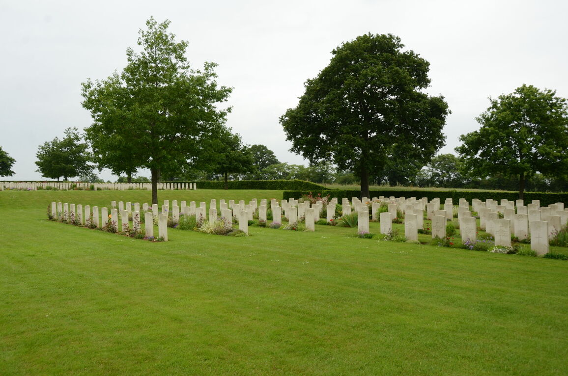
The cemetery is rectangular shaped with the main entrance located along the main road.
There are 3 steps located on each side of the main entrance leading to a level platform. Two semi-circular steps lead up to another circular paved area with an additional step up to the grass area in front of the entrance.
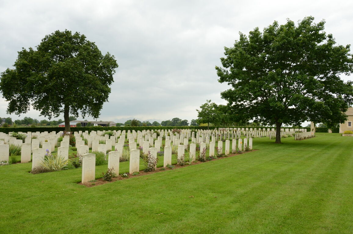
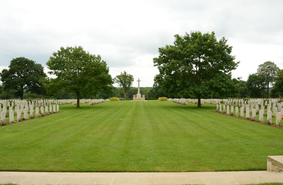
The cemetery is divided into two levels. Each level is flat.
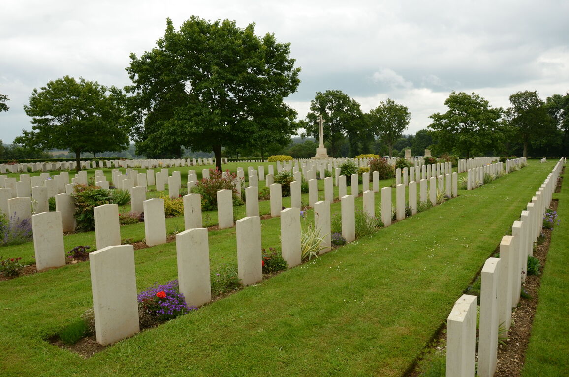
The Cross of Sacrifice is in the centre of the cemetery between the two levels. There is a steep grass ramp across the width of the cemetery with ten stone steps on either side of the Cross of Sacrifice leading up to the upper level.
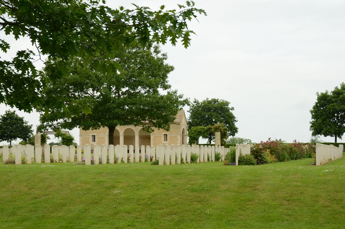
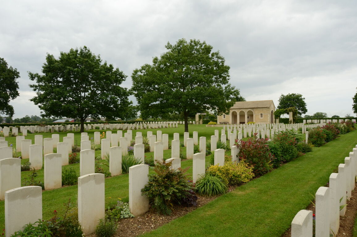
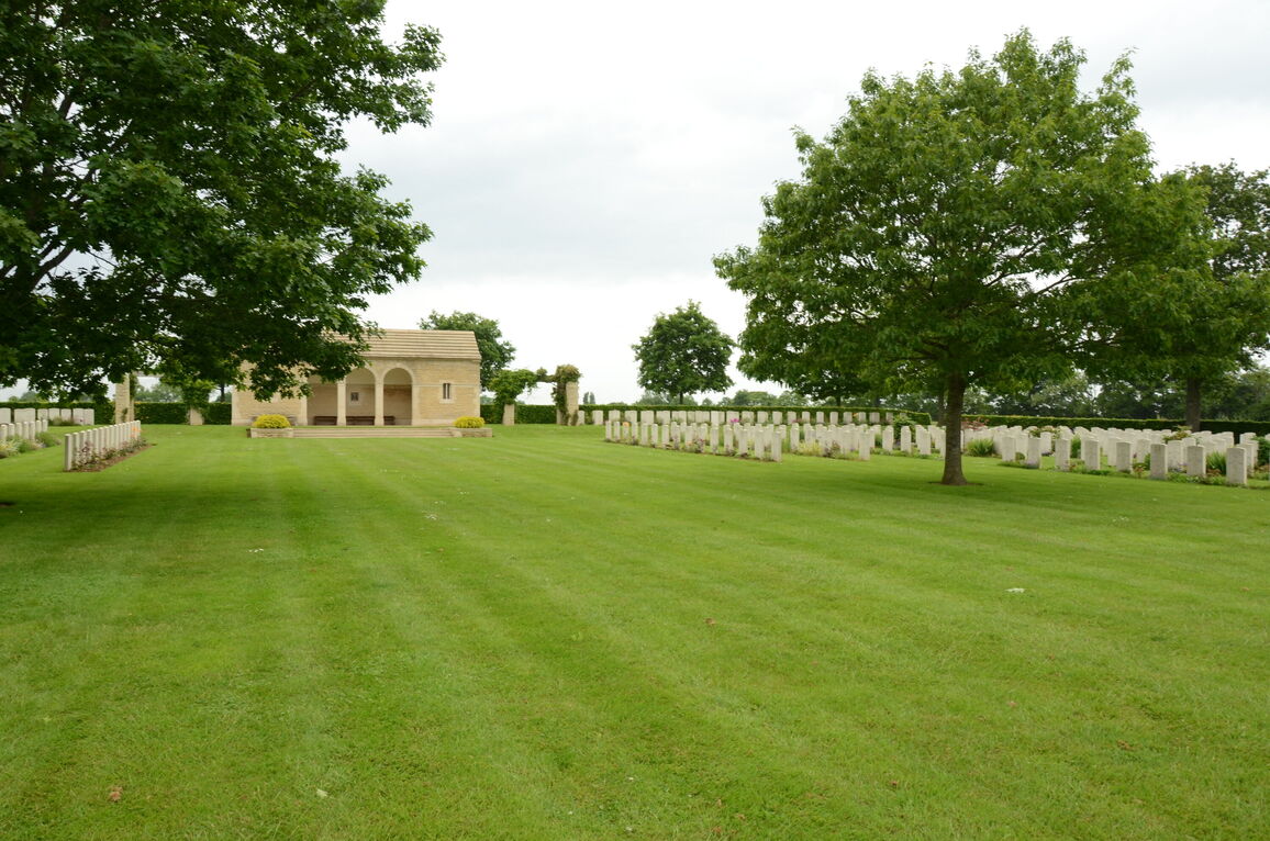
At the furthest point from the main entrance is a shelter building. Four steps lead up to a paved area in front of the building. A single step leads inside the building through three stone arches. There are wooden benches located against the front of the memorial building and additional seating inside.
The Register Box is located inside the building above the central wooden bench.
There are shaded wooden bench seating areas on either side of the cemetery in line with the Cross of Sacrifice on the lower level.
ALTERNATIVE ACCESS
There is an alternative entrance on the left side of the cemetery viewed from the main road, approximately 35 metres from the main entrance.
Close to the parking area and pavement there is a tall blue pillar. Behind the pillar is a gap between a hedge and a large tree. There is a well-worn sloped path with a mixed surface of soil, sand and grass that leads into the cemetery.
ADDITIONAL INFORMATION
The cemetery is permanently open.
History information
The Allied offensive in north-western Europe began with the Normandy landings of 6 June 1944.
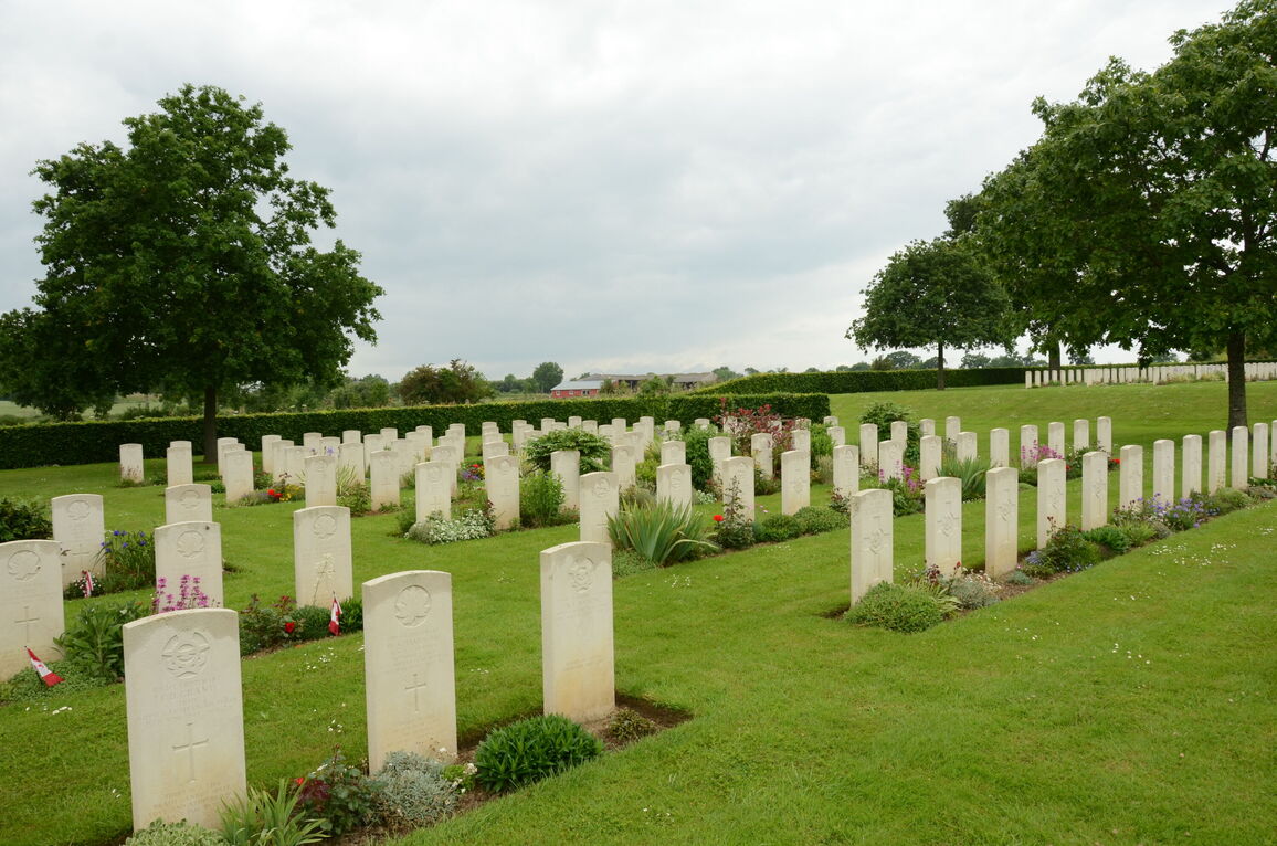
Most of the burials in Hottot-les-Bagues War Cemetery were brought in from the surrounding district, where there was much heavy fighting through June and July 1944 as Commonwealth forces tried to press on from Bayeux in an encircling movement to the south of Caen.
The cemetery contains 1,005 Commonwealth burials of the Second World War, 56 of them unidentified, and 132 German graves.
There are 21 Special Memorials within the above, bearing the inscription "Buried near this spot"


