La Delivrande War Cemetery, Douvres
- Country France
- Total identified casualties 1025 Find these casualties
- Region Calvados
- Identified casualties from Second World War
- GPS Coordinates Latitude: 49.29027, Longitude: -0.37771


Go on a virtual visit to La Deliverande War Cemetery
La Deliverande War Cemetery has For Evermore tours available using the FREE app for mobile phones and tablets. The tours cover different aspects of the site and the Commonwealth servicemen and women we commemorate within the grounds.
The app can be used remotely or, If you are visiting the cemetery, you can use the tour to follow a path around it, reading the stories along the route. There is also a scan function allowing the user to scan a headstone and bring up the related casualty information throughout the cemetery.
The For Evermore app can be downloaded from the links below.
Access the La Deliverande virtual tour via the For Evermore app, available on IOS and Android.
Download FREE app for iOS Download FREE app for Android
SHARE THE STORIES OF D-DAY AND NORMANDY
If you'd like to know more about who we commemorate, visit For Evermore: Stories of the Fallen, the CWGC online commemorative resource. Here you can read and share the fascinating stories from some of the people who took part in D-Day and Normandy Campaign.
Location information
Douvres-la-Delivrande is a village 14 kilometres north of Caen.
Take the main road northwards from Caen, the D7 to Langrune-sur-Mer. After about 12 kilometres, the War Cemetery will be found on the right of the road, a few hundred metres before reaching La Delivrande crossroads and its twin-spired church.
Visiting information
ARRIVAL
The route to the cemetery and the main entrance is signposted.
PARKING
It is possible to park on the road adjacent to the cemetery, on Rue de la Fossette, in spaces at the side of the road, approximately 140 metres from the main entrance. The ground is firm, flat and the surface smooth tarmac. There are multiple spaces in front of the municipal cemetery, another 60 metres along the road.
There is a tarmac path from the parking area adjacent to the cemetery with pedestrian crosswalks to access the path from the parking spaces. The path is flat and firm.
ACCESS LAYOUT AND MAIN ENTRANCE
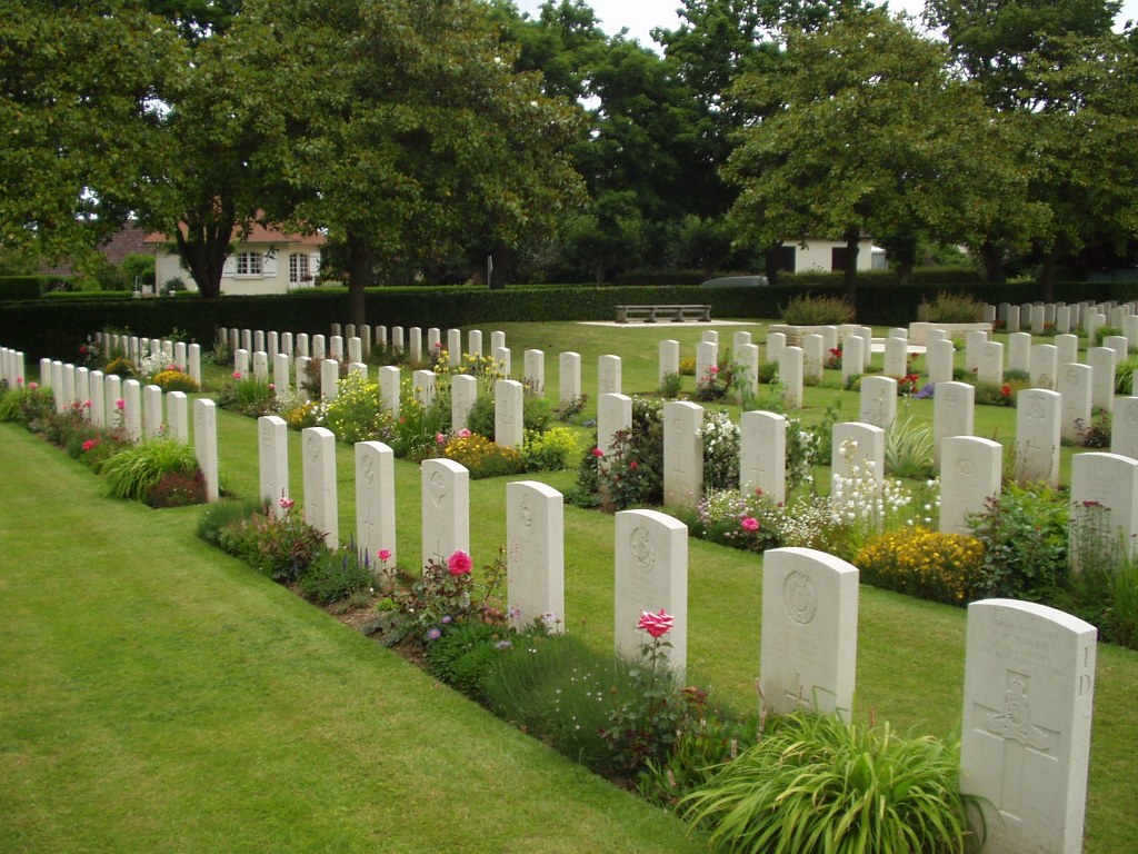
The cemetery is a rectangular shape, the cemetery is on a gentle slope, all the internal paths are sloping. The paths are grass, the ground is firm in most areas.
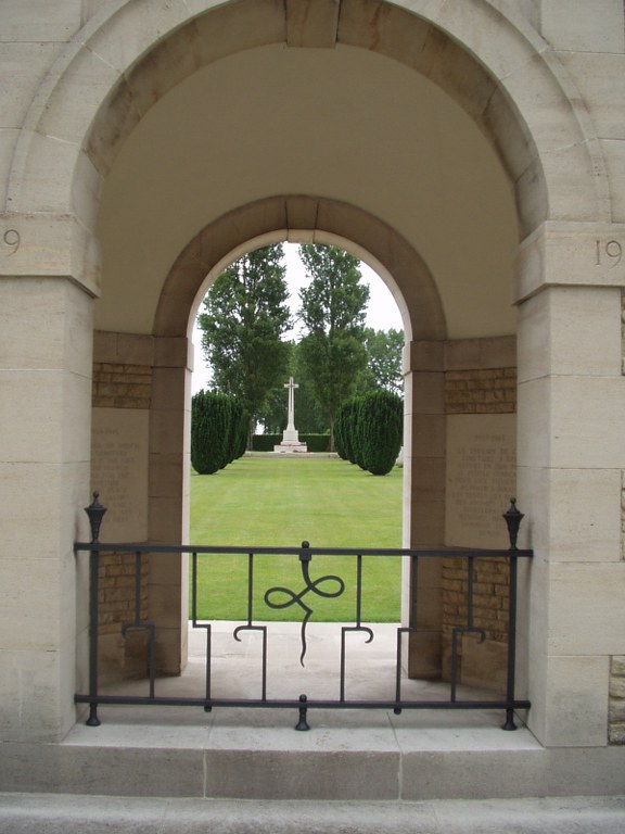
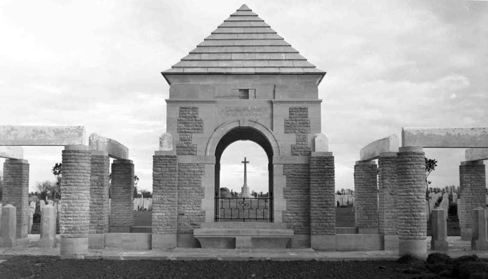
The main entrance has a large stone, enclosed central shelter building. On either side of the shelter are concrete pergola archways. Both archways have a 3-metre gap underneath, with 2 stone bollards and a chain across the spaces on both sides. The internal gaps between the bollards are 800 mm.
Both the interior and exterior ground surfaces of the cemetery at the main entrance are firm. Outside the cemetery on both sides is a tarmac path marking the route from the pavement to the main entrance under the archways. Level paving leads into the cemetery.
The Register Box is built into the rear wall of the central shelter building at the entrance to the cemetery. Access into the shelter is through archways on three sides, underneath the pergolas and from inside the cemetery. There is a shallow step up from the surrounding paving up to the interior of the shelter. There are stone benches inside the shelter building.
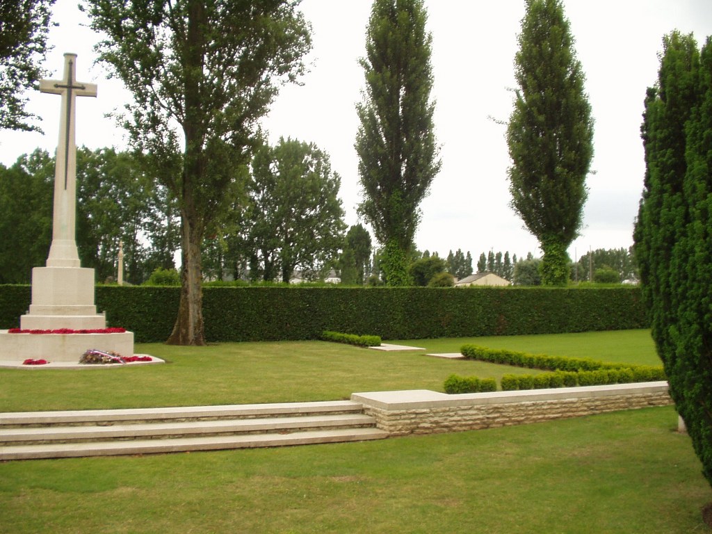
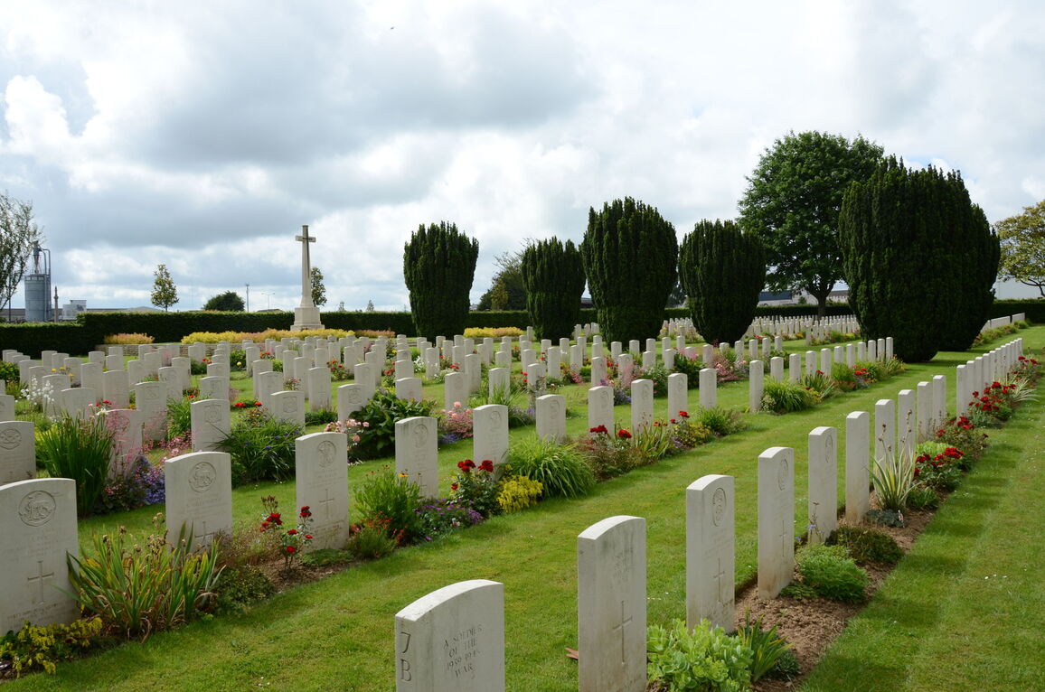
The Cross of Sacrifice is at the rear of the cemetery on a raised grass platform. This is accessed by three stone steps around three sides of the platform.
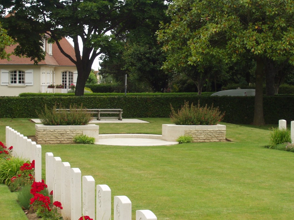
At the midpoint of the cemetery, on both the left and right-hand sides, are raised platforms with timber bench seating areas. Access to benches is up a single step. Large stone planters and a circular patio sits in front of the bench.
The internal paths are gently sloping with a grass surface, the grass can be bumpy in patches.
ALTERNATIVE ACCESS
At the junction of the main road along the front of the cemetery and the road with off-street parking (northeast corner of the cemetery) is a cross on a stone plinth. Immediately to the left and behind the obelisk is an 800 mm wide metal gate in the hedge. The latched gate opens inwards into an enclosed grass space with access into the main burial area through a gap in the hedge. The surface is grass, the ground is firm.
ADDITIONAL INFORMATION
The cemetery is permanently open.
History information
The Allied offensive in north-western Europe began with the Normandy landings of 6 June 1944.
The burials in La Delivrande War Cemetery mainly date from 6 June and the landings on Sword beach, particularly Oboe and Peter sectors. Others were brought in later from the battlefields between the coast and Caen.
There are now 944 Commonwealth servicemen of the Second World War buried or commemorated in this cemetery. 65 of the burials are unidentified but there are special memorials to a number of casualties known to be buried among them. The cemetery also contains 180 German graves.