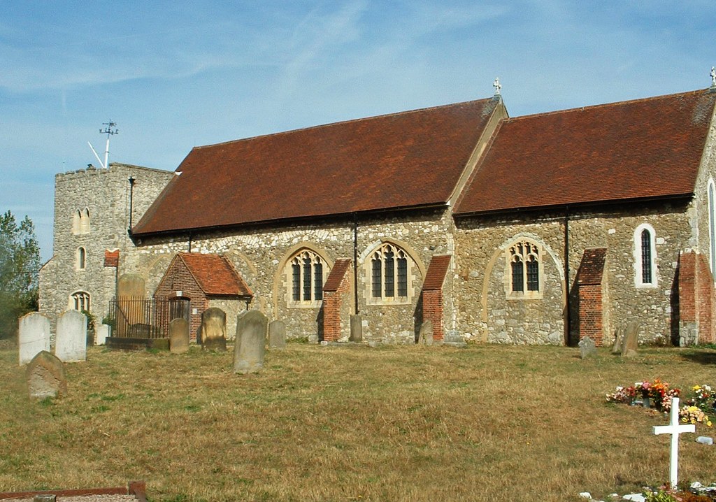
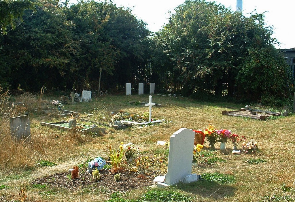
Isle Of Grain (St. James) Churchyard
- Country United Kingdom
- Total identified casualties 5 Find these casualties
- Region Kent
- Identified casualties from First & Second World War
- GPS Coordinates Latitude: 51.45842, Longitude: 0.71687
History information
The churchyard contains burials of both World Wars. There are also the graves of an unidentified airman of the Royal Air Force and an unidentified seaman of the Merchant Navy.