Livry Churchyard
- Country France
- Total identified casualties 3 Find these casualties
- Region Calvados
- Identified casualties from Second World War
- GPS Coordinates Latitude: 49.10817, Longitude: -0.76614
Location information
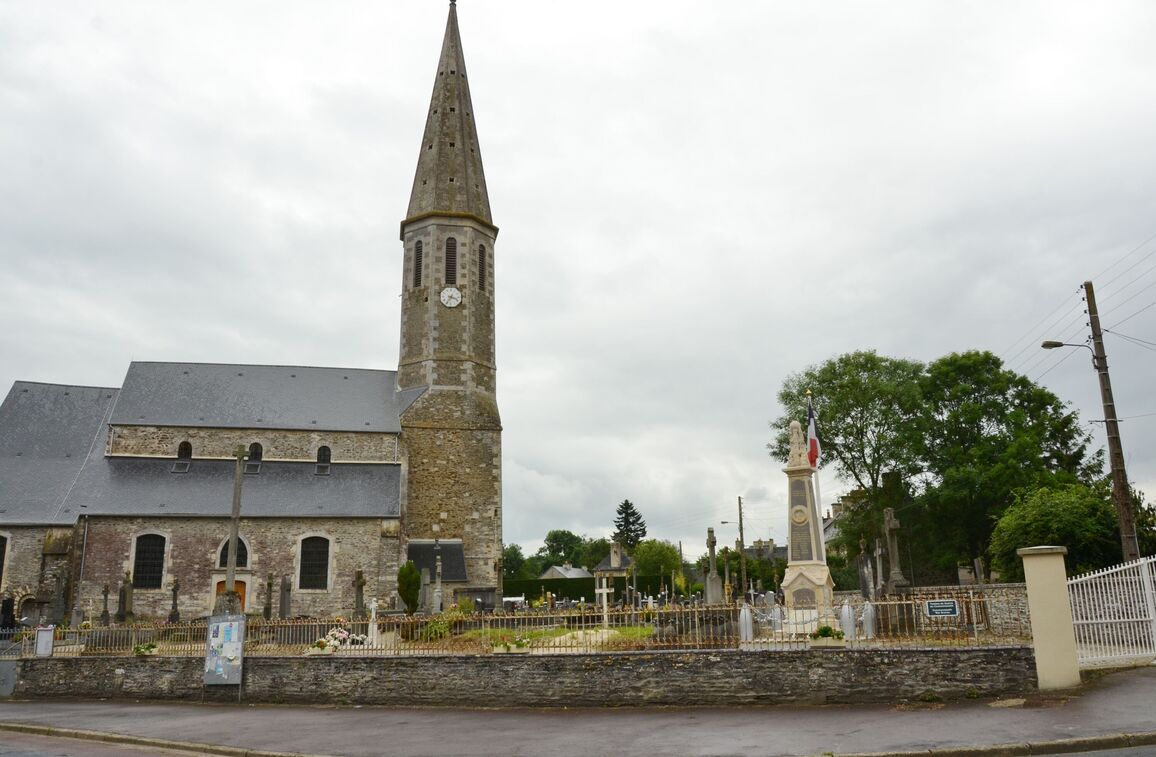
Livry is a village and commune approximately 33 kilometres west-south-west of Caen. It is about half a mile south-east of the D9 road from Caen to Caumont L'Evente.
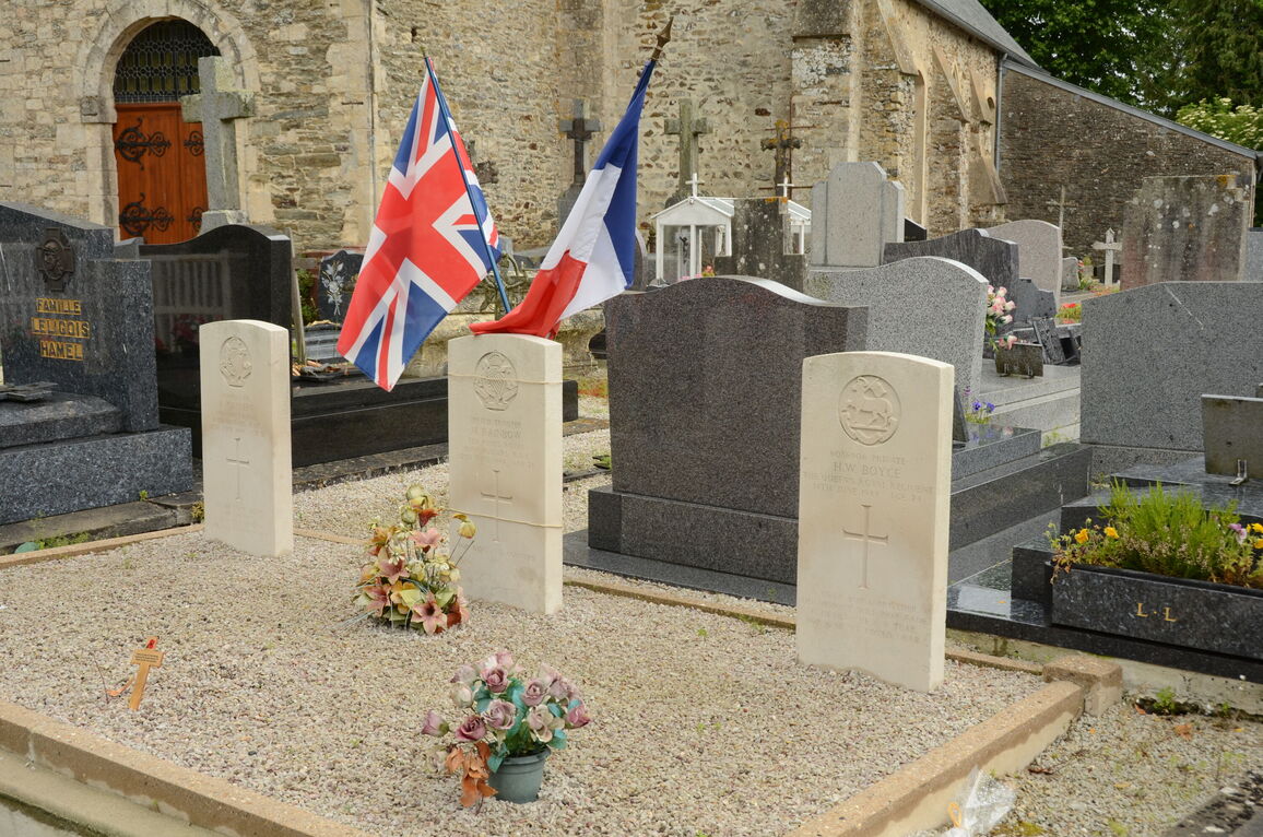
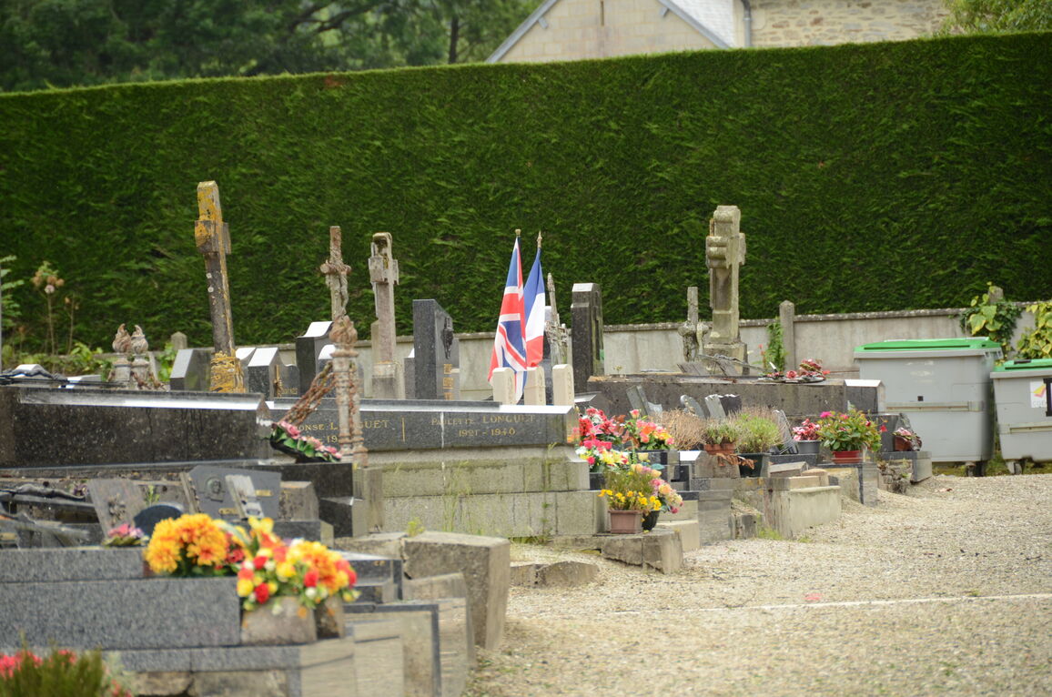
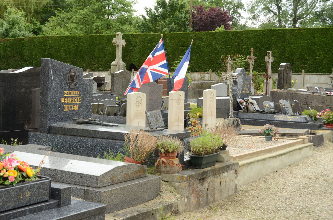
There are 3 Commonwealth burials of the 1939-1945 war here, 15 yards south of the southwest corner of the church.


