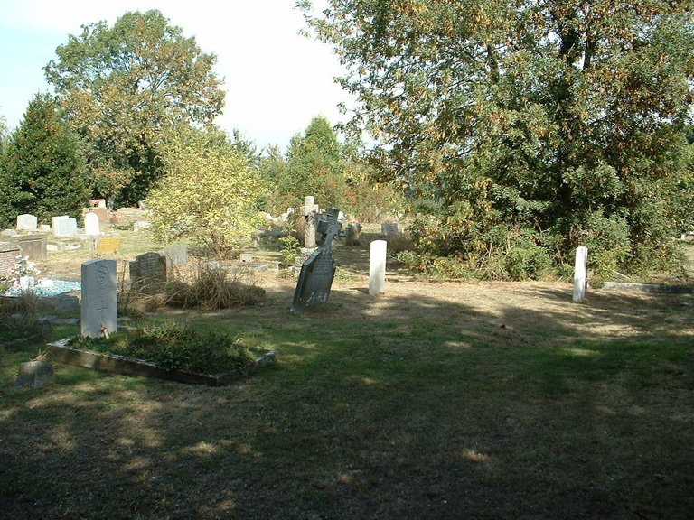
Upchurch (St. Mary) Churchyard Extension
- Country United Kingdom
- Total identified casualties 5 Find these casualties
- Region Kent
- Identified casualties from First & Second World War
- GPS Coordinates Latitude: 51.37738, Longitude: 0.64748
Location information
Upchurch is a village and parish on a creek of the Medway, five miles east of Chatham.
History information
In the churchyard extension, which is north-west of the old churchyard, are four 1914-1918 War graves and one 1939-1945 War grave.


