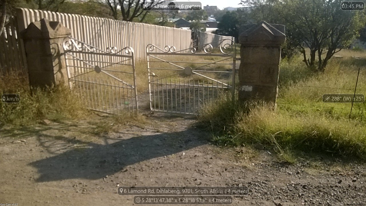
Bethlehem Old Cemetery
- Country South Africa
- Total identified casualties 1 Find these casualties
- Region Free State
- Identified casualties from Second World War
- GPS Coordinates Latitude: -28.22987, Longitude: 28.31474
Location information
Drive from Kroonstad on the R76, turn left onto Muller Street and left onto Richter Street, continue, the road becomes Lamond Road and the cemetery is on the left hand side. Drive from Harrismith on the N5 and turn left onto Muller Street then right onto Richter Street, continue, the road becomes Lamond Road and the cemetery is on the left hand side.


