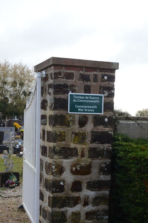
Saumont-La-Poterie Communal Cemetery
- Country France
- Total identified casualties 1 Find these casualties
- Region Seine-Maritime
- Identified casualties from Second World War
- GPS Coordinates Latitude: 49.58035, Longitude: 1.60653
Location information
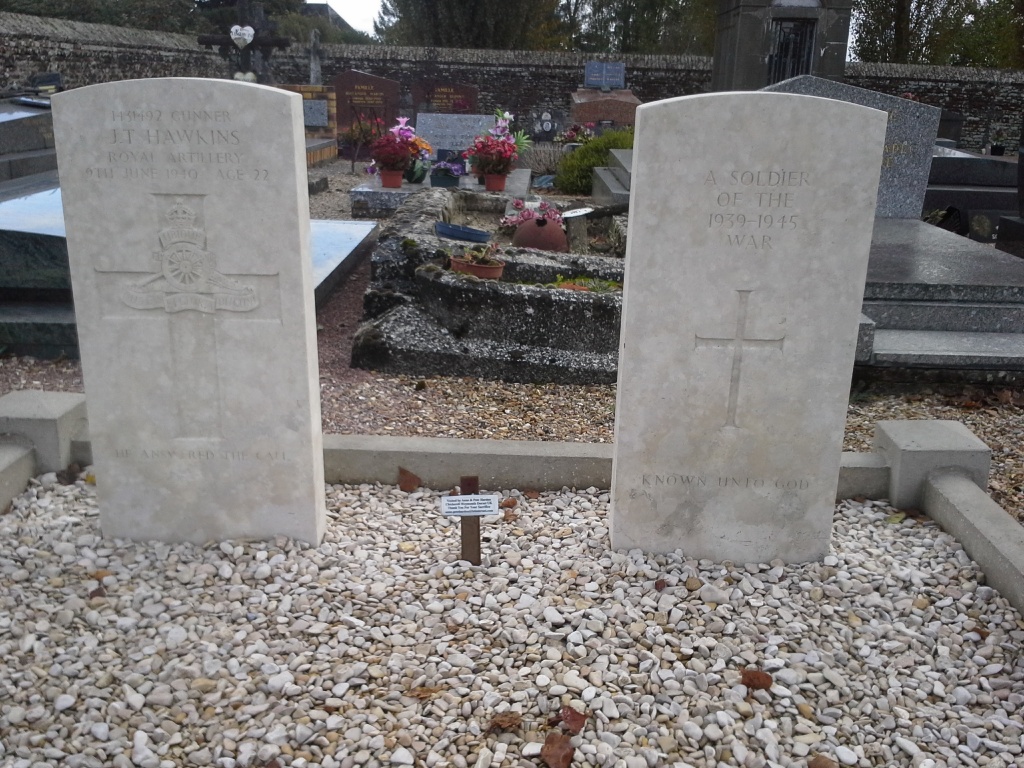
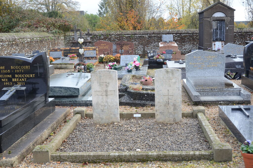
Saumont-la-Poterie is a village and commune 12.50 miles (20 kilometres) east-north-east of Rouen, and 4 miles (6 kilometres) south-east of Forges-les-Eaux (this is a town on the D.915 road from Dieppe to Gournay-en-Bray and Paris, and is 34 miles from Dieppe). The commune consists of the village of Saumont and the hamlet of La Poterie, which are less than half a mile (1 kilometre) apart, and are both on the east side of the D.915 road. The communal cemetery is south of La Poterie, 100 yards down a lane leading south from road D.41 which passes through this hamlet. Some 17 yards north-east of the crucifix in the central path of the cemetery are the graves of 2 British soldiers, one of whom is not identified.


