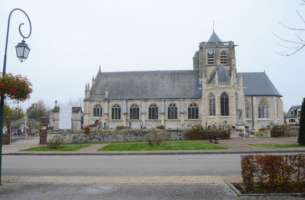
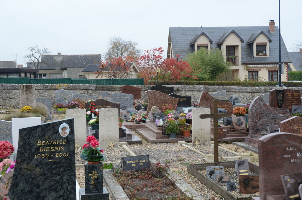
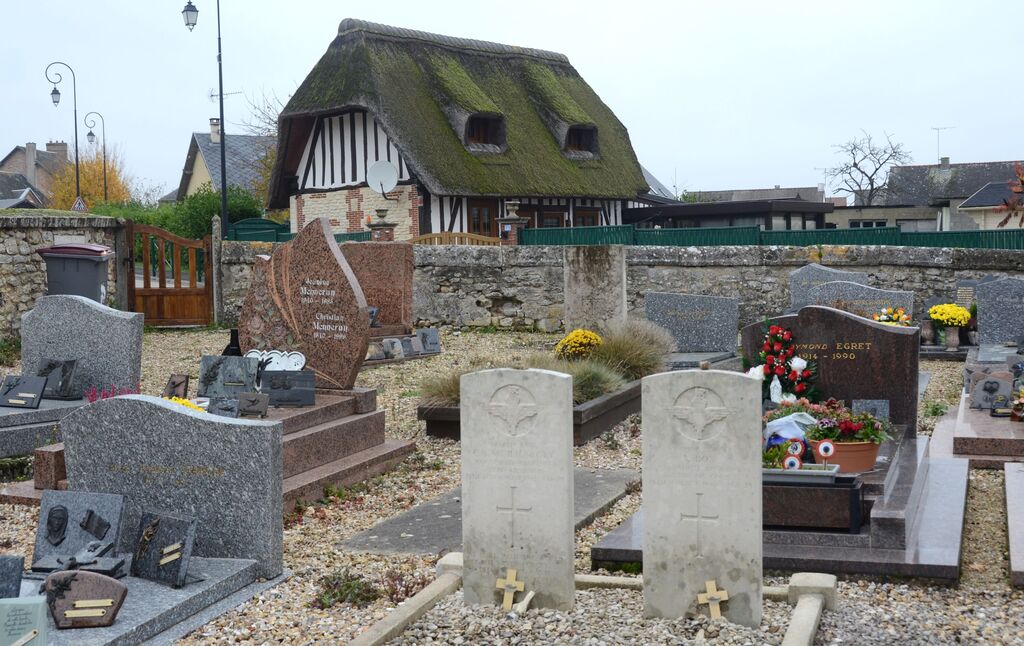
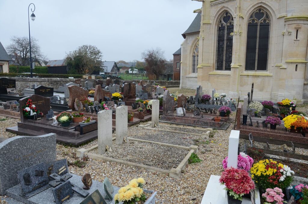
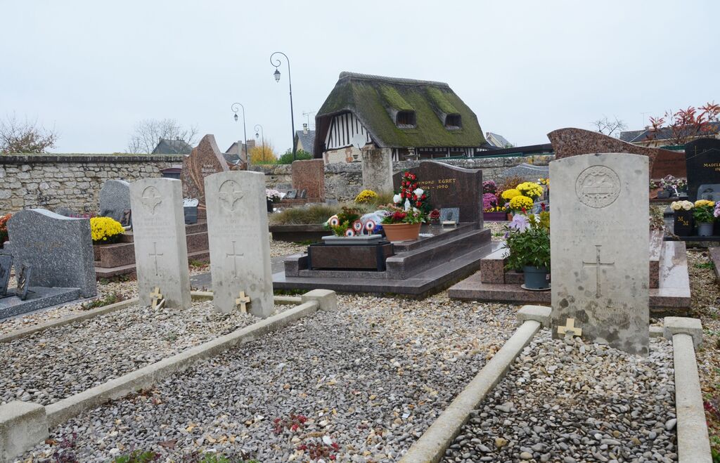
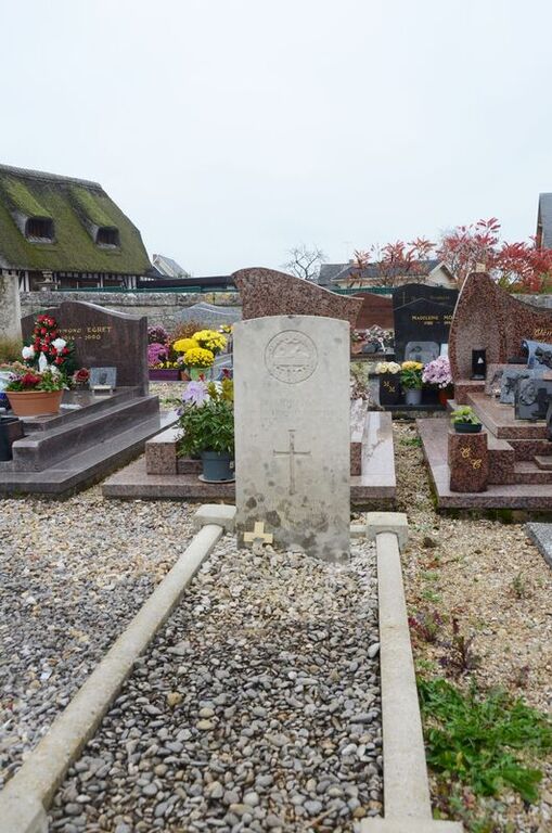
Vatteville-La-Rue Churchyard
- Country France
- Total identified casualties 3 Find these casualties
- Region Seine-Maritime
- Identified casualties from Second World War
- GPS Coordinates Latitude: 49.49039, Longitude: 0.68475
Location information
Vatteville-la-Rue is a village and commune on the south bank of the River Seine, 40 kilometres east of Le Havre and 6 kilometres south-west of Caudebec, which is on the north bank of the river. The three British graves in the churchyard are north of the church tower.