Rogecourt Communal Cemetery
- Country France
- Total identified casualties 6 Find these casualties
- Region Aisne
- Identified casualties from Second World War
- GPS Coordinates Latitude: 49.65536, Longitude: 3.43737
Location information
Rogecourt is a small village and commune 24 kilometres south-south-east of St. Quentin and some 5 kilometres east of La Fere, a town on the St. Quentin-Laon road (N.44).
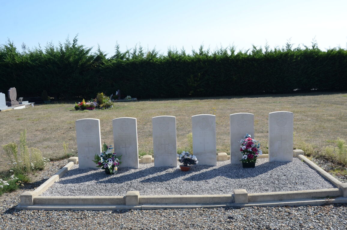
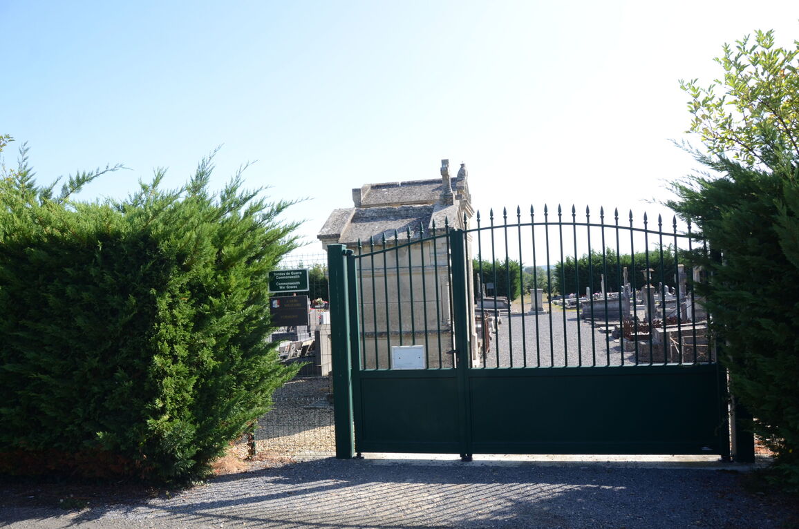
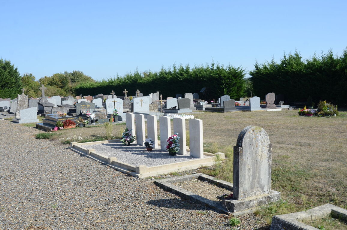
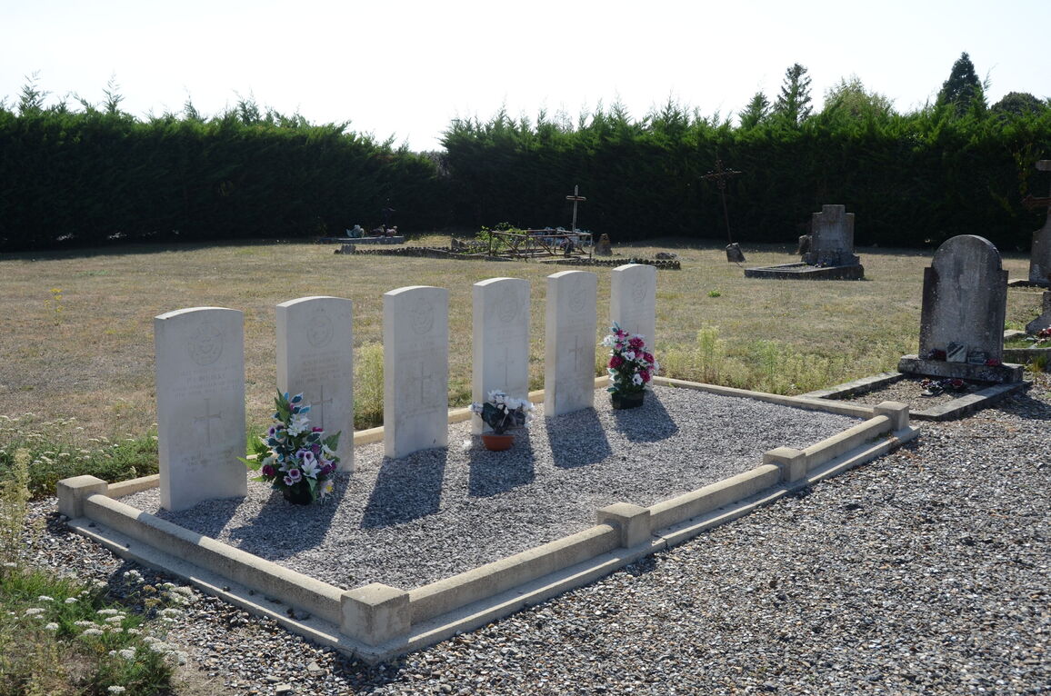
The Communal Cemetery is east of the village. About 20 yards west of the Calvary in the cemetery, at the junction of the main paths, are the graves of six airmen. One of them belonged to the Royal Air Force and the others to the Royal Australian Air Force.


