Pouru-St. Remy Communal Cemetery
- Country France
- Total identified casualties 4 Find these casualties
- Region Ardennes
- Identified casualties from Second World War
- GPS Coordinates Latitude: 49.681, Longitude: 5.07822
Location information
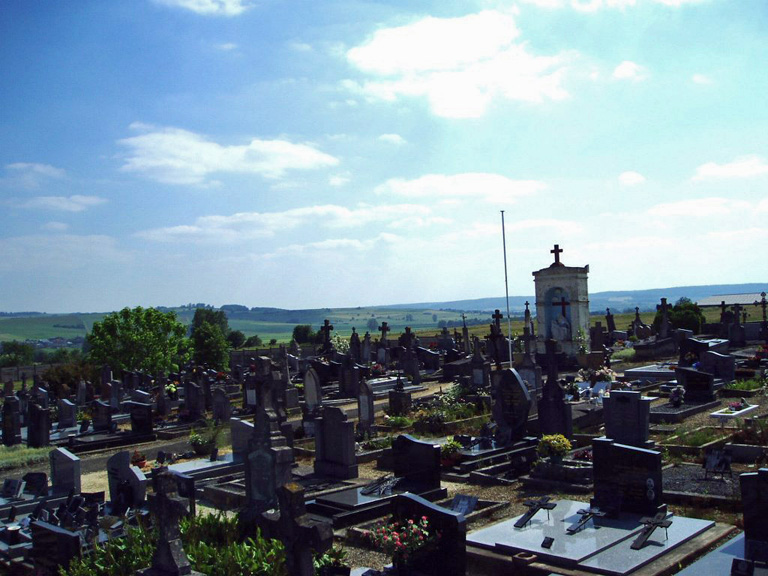
Pouru-St. Remy is a village and commune 17.5 miles (28 kilometres) south-east of Mezieres and about 7 miles (11 kilometres) south-east of Sedan, on the N.381 road to Carignan. It has a railway station on the line from Mezieres-Charleville to Sedan and Languyon but is most easily reached by taxi from Sedan. The cemetery is on the western side of the village in a second class road to Francheval About two yards west of the main entrance are the graves of four airmen who belonged to the Royal Air Force.