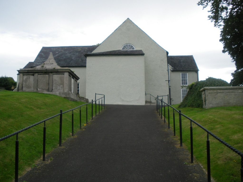
Downpatrick First Presbyterian (Non-Subscribing) Churchyard
- Country United Kingdom
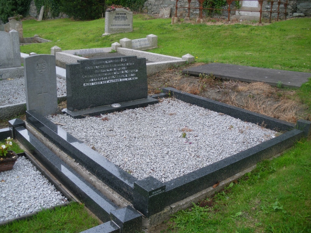
- Total identified casualties 1 Find these casualties
- Region County Down
- Identified casualties from Second World War
- GPS Coordinates Latitude: 54.32502, Longitude: -5.71214
Location information
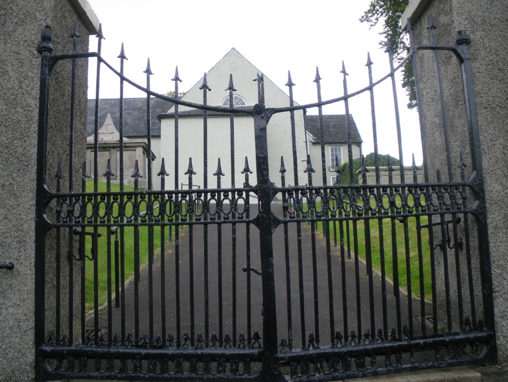
From Belfast: Take the A7 road. At the roundabout at the outskirts of Downpatrick, turn right on to Church Street. Continue along this road straight-on through the first set of traffic lights, then bear left following the main road to a second set of lights and proceed straight ahead at the third set of lights into Irish Street. Travel up this hill passing a Police Station on the right hand side. At the top of the hill the road becomes Stream Street. The Church is located on the left hand side of this street at the junction with Pound Lane at the bottom of the hill.
History information
There is 1 Commonwealth burial of the 1939-1945 war here.