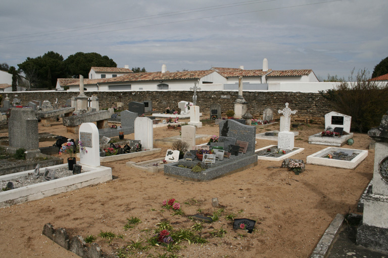
Les Portes Communal Cemetery
- Country France
- Total identified casualties 1 Find these casualties
- Region Charente-Maritime
- Identified casualties from Second World War
- GPS Coordinates Latitude: 46.25143, Longitude: -1.5004
Location information
Les Portes is a village and commune near the extreme north point of the lle de Re, an island in the Bay of Biscay near La Rochelle. The island is reached by ferry from the port of La Pallice, which adjoins La Rochelle. Les Portes is about 20 miles (32 kilometres) from the ferry landing-stage. The cemetery lies north of the village on a track which is at the end of the Rue de la Cure alongside the church. There is 1 Commonwealth burial of the 1939-1945 war here, to the right of the main path, only some 15 yards from a monument in the centre of the cemetery.


