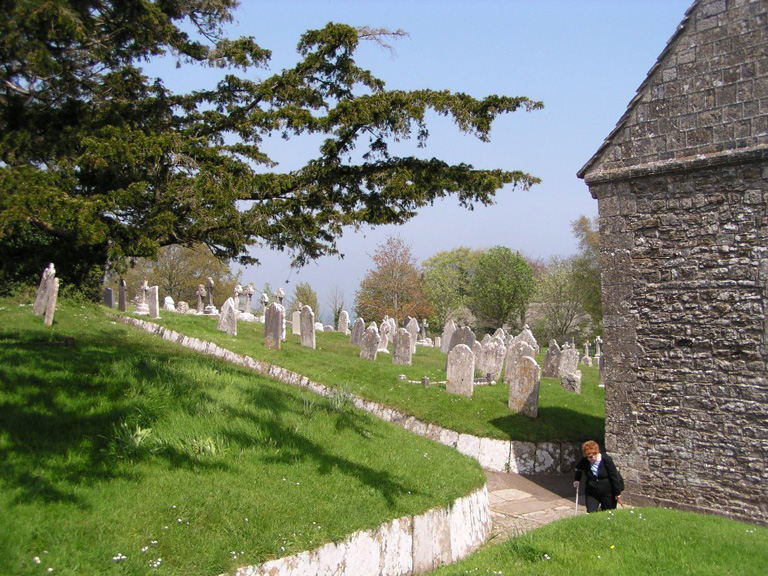
Studland (St. Nicholas) Churchyard
- Country United Kingdom
- Total identified casualties 2 Find these casualties
- Region Dorset
- Identified casualties from Second World War
- GPS Coordinates Latitude: 50.64217, Longitude: -1.94986
Location information
Studland lies at the southern extremity of Studland Bay, 5 miles east of Corfe Castle. The church is on the southern side of the main road from Corfe Castle.
History information
There are 2 Commonwealth burials of the 1939-45 war here.


