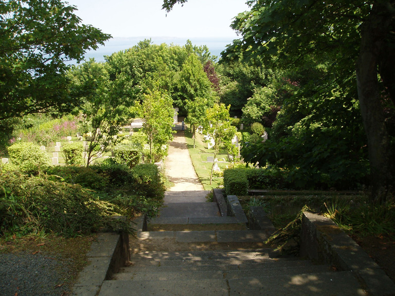
Fort George Military Cemetery, St. Peter Port, Guernsey
- Country United Kingdom
- Total identified casualties 136 Find these casualties
- Region Channel Islands
- Identified casualties from First & Second World War
- GPS Coordinates Latitude: 49.44206, Longitude: -2.53589
Please note
Visitors are advised to exercise caution at this location as there are several sets of steps on the main path which are quite steep and narrow. There are also a number of terraces which have significant drops and are unprotected.
Location information
Fort George is an area south of St. Peter Port. The cemetery is sited within the former Fort George Garrison area, much of which has in recent years been re-developed for private housing.
GPS Co-ordinates:
N 49. 26. 532
W 002. 32. 147
History information
Fort George was built as the island garrison for the British Army around the beginning of the 19th century. The cemetery was created as part of this complex and as a result contains the graves of many British soldiers and sailors from the 19th and 20th centuries. The fort was decommissioned after the Second World War and the land was transferred to States of Guernsey in 1958. The cemetery is now managed by the States of Guernsey Treasury and Resources Department and the Commission are responsible for 23 graves from the First World War and 113 from the Second World War, including 111 German graves.
After the 1914-1918 War, a Cross of Sacrifice and a memorial plaque were erected here in honour of all members of His Majesty's Forces buried in Guernsey, Alderney and Sark. These now serve to commemorate also those 1939-1945 War casualties who are buried on these islands. The Cross of Sacrifice is inscribed "Their glory shall not be blotted out"; on the memorial plaque are these words:- "The Cross of Sacrifice is erected to the honoured memory of those members of His Majesty's Forces who gave their lives during the wars of 1914-1918 and 1939-1945 and are buried in the islands of Guernsey, Alderney and Sark"


