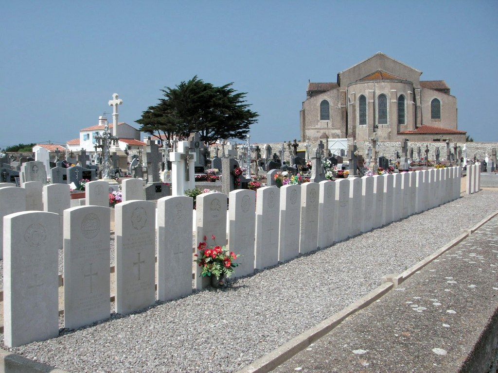
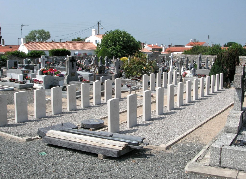
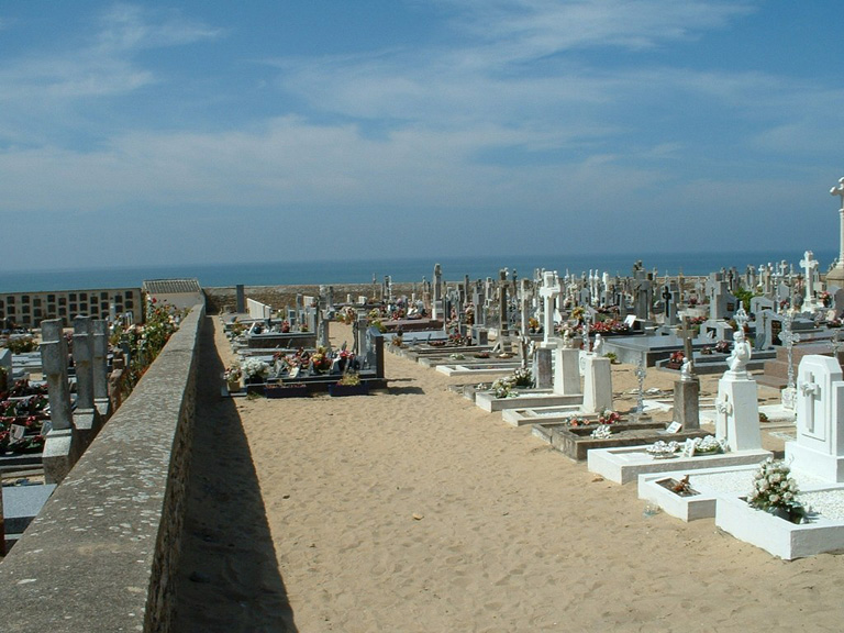
Noirmoutier-En-L'ile (L'herbaudiere) Communal Cemetery
- Country France
- Total identified casualties 18 Find these casualties
- Region Vendee
- Identified casualties from Second World War
- GPS Coordinates Latitude: 47.01706, Longitude: -2.29506
Location information
L'Herbaudiere is a hamlet of Noirmoutier-en-L'Ile, a small town on the island of Noirmoutier which is situated off the west coast of France some 32 kilometres south of the mouth of the River Loire and 47 kilometres north-west of La Roche-sur-Yon, the chief town of the Department of the Vendee. A bridge and causeway give access to the island.
L'Herbaudiere is near the north-west corner of the island, 5 kilometres north of Noirmoutier-en-L'Ile, and the cemetery is situated near to the church, which is easy to find. The war graves will be found in the south corner of the churchyard.
History information
There are 40 Commonwealth burials of the 1939-45 war commemorated in this site, 22 of which are unidentified. 1 soldier whose grave could not be precisely located is commemorated by a special memorial inscribed "Buried near this spot."
The majority of the casualties buried here are victims of the "Lancastria", sunk by enemy action on the 17th June 1940 off St. Nazaire.


