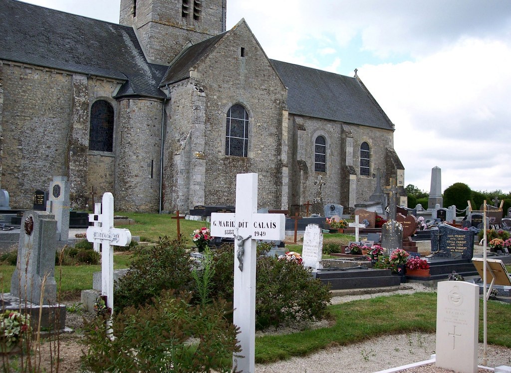
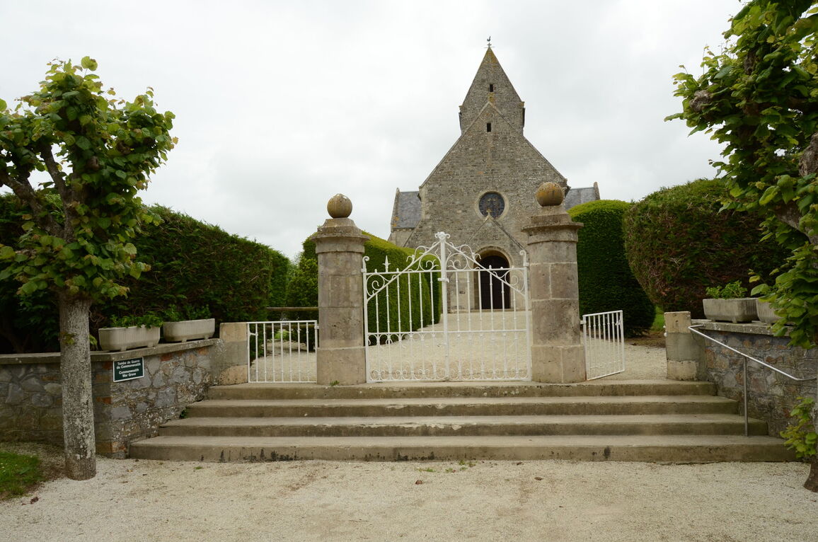
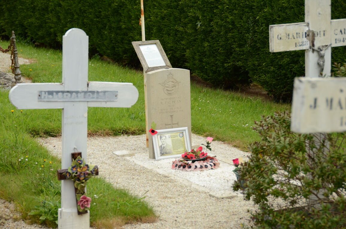
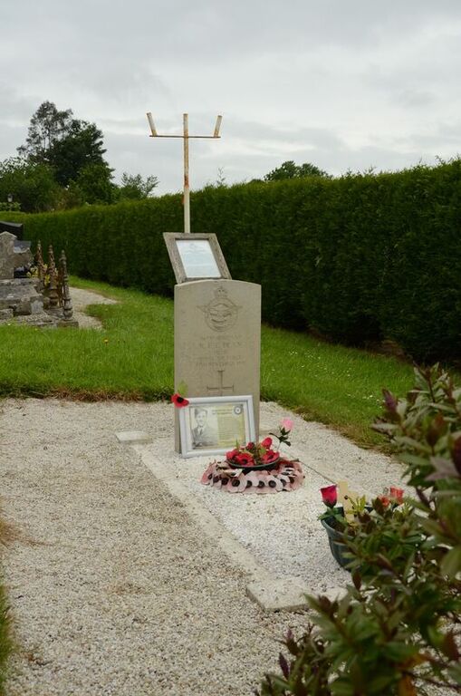
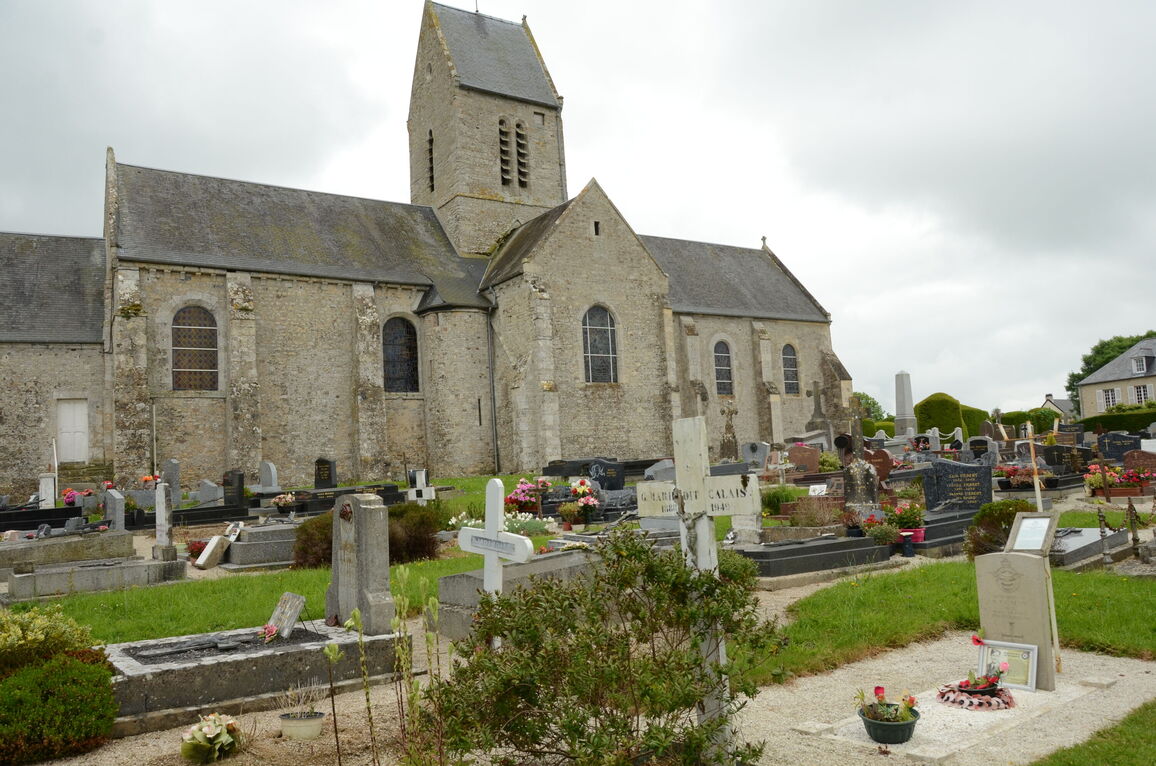
Brevands Churchyard
- Country France
- Total identified casualties 1 Find these casualties
- Region Manche
- Identified casualties from Second World War
- GPS Coordinates Latitude: 49.33139, Longitude: -1.19104
Location information
The village and commune of Brevands is 6 kilometres north-west of Carentan, a town on the Cherbourg-Paris road (N.13). There is 1 Commonwealth burial of the 1939-1945 war here, 27 metres north of the north-eastern corner of the church.