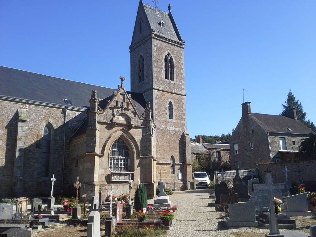
Breel Churchyard
- Country France
- Total identified casualties 3 Find these casualties
- Region Orne
- Identified casualties from Second World War
- GPS Coordinates Latitude: 48.81333, Longitude: -0.39157
Location information
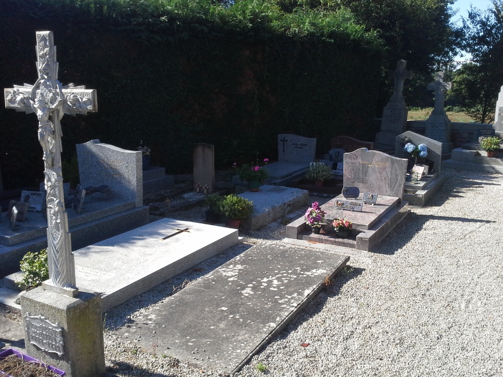
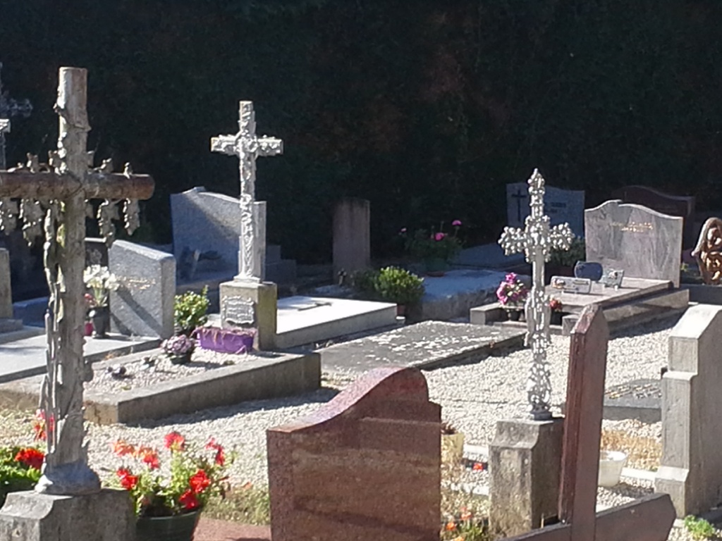
The village and commune of Breel is about 15 kilometres east-north-east of Flers-de-l'Orne, a town on the Argentan-Vire-Granville road (N.24 bis). There are 3 Commonwealth burials of the 1939-1945 war here, near the eastern boundary of the churchyard.