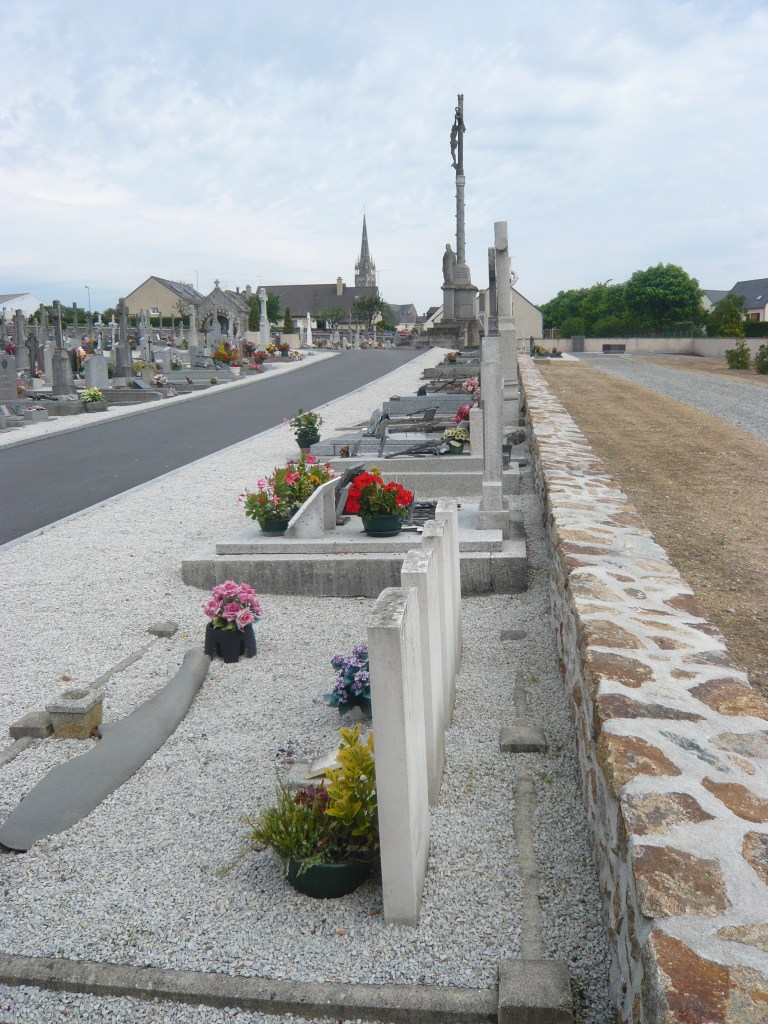
Le Pertre Communal Cemetery
- Country France
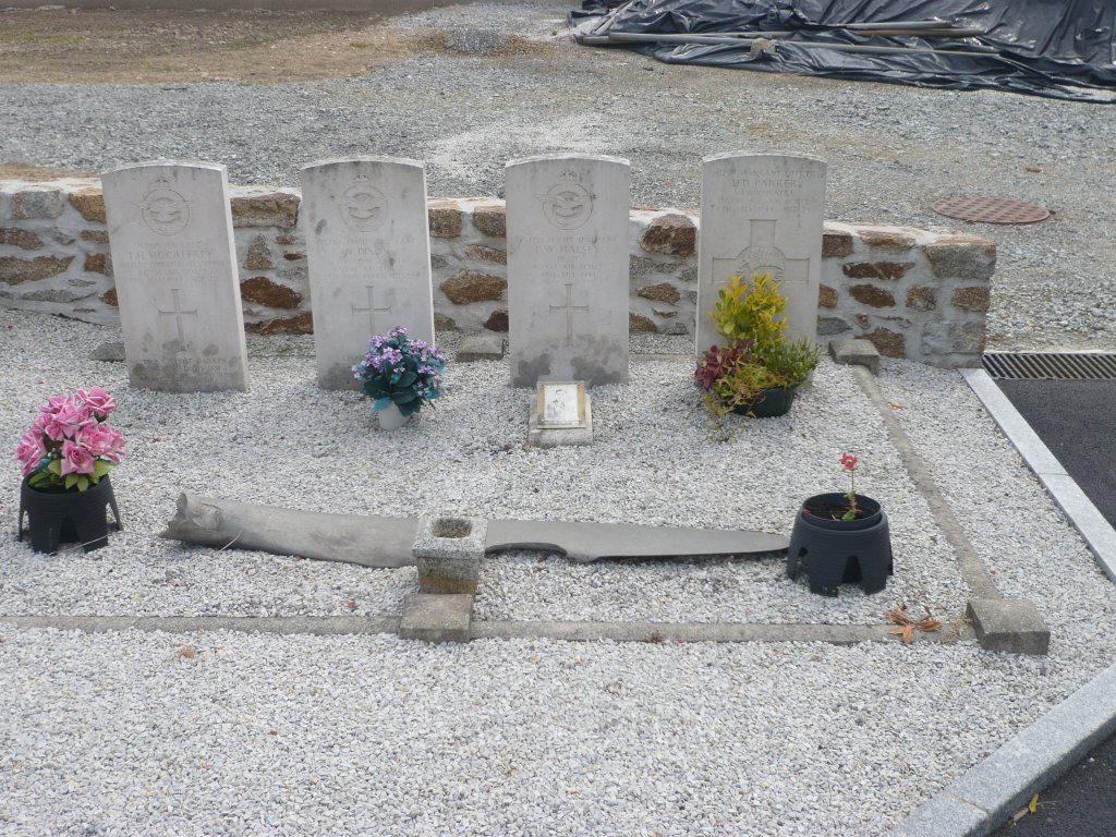
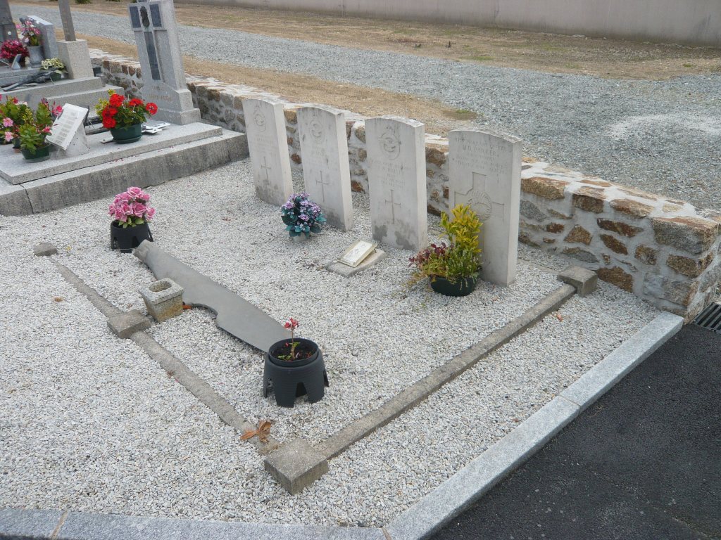
- Total identified casualties 4 Find these casualties
- Region Ille-et-Vilaine
- Identified casualties from Second World War
- GPS Coordinates Latitude: 48.03035, Longitude: -1.03651
Location information
The village and commune of Le Pertre lies 48 kilometres east of Rennes and 16 kilometres south-east of Vitre, a small town on the Rennes-Laval road (N.157). The cemetery is south of the village, on the D.29 road to St. Poix. There are 4 Commonwealth burials of the 1939-1945 war here, near the south-eastern corner.