Romagne Communal Cemetery
- Country France
- Total identified casualties 2 Find these casualties
- Region Ille-et-Vilaine
- Identified casualties from Second World War
- GPS Coordinates Latitude: 48.34462, Longitude: -1.2741
Location information
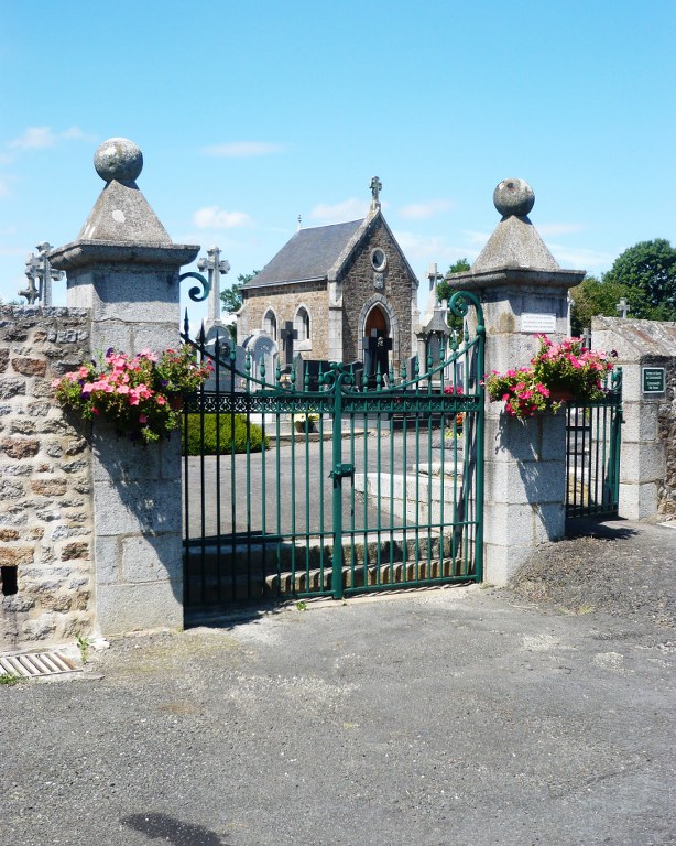
Romagne is a village on the N12 road from Rennes to Fougeres about 41 kilometres north-east of Rennes. The village is just east of the A84/E3 motorway which you leave at junction 29 and follow the signs to Romagne. The cemetery is on the eastern side of the village on the Allee des Prunes off the N12 opposite the post office.
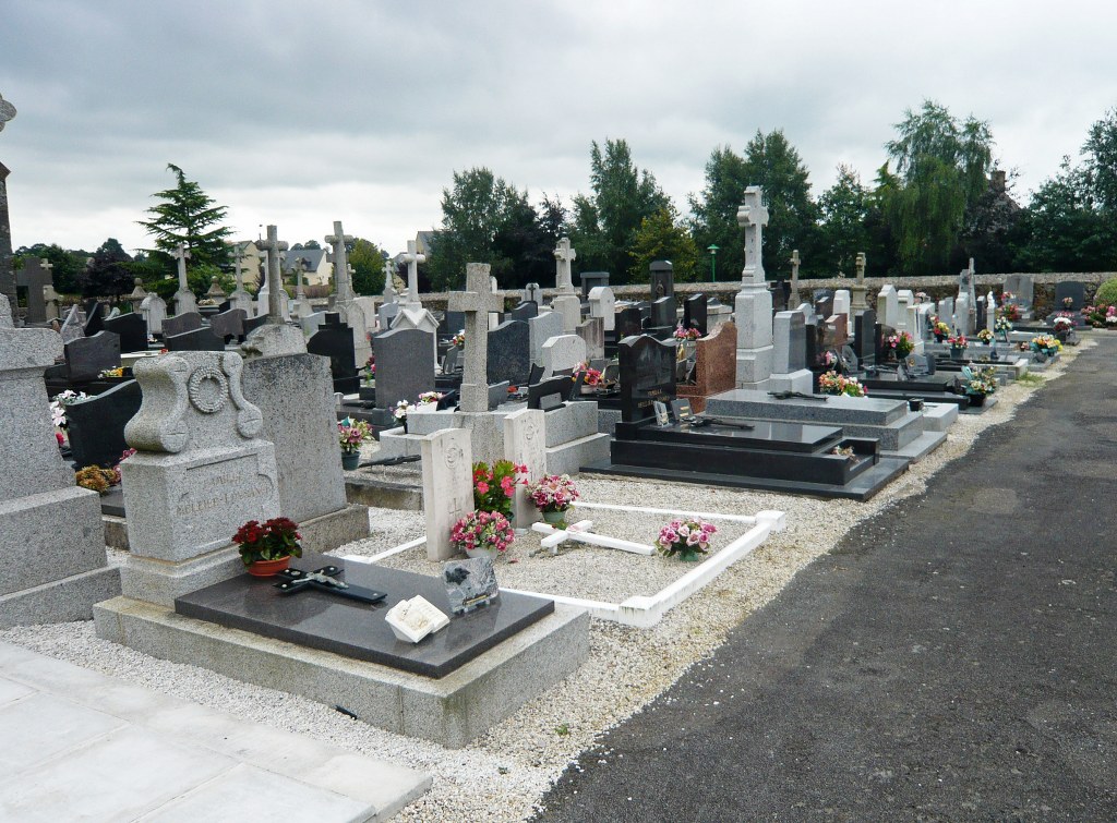
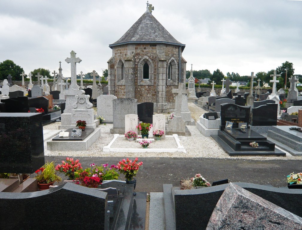
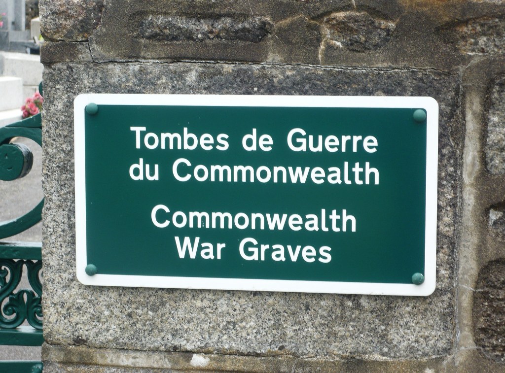
There are two Commonwealth burials of the 1939-1945 war here, situated in the third row of graves immediately behind the cemetery chapel.