St. Malo Communal Cemetery
- Country France
- Total identified casualties 0 Find these casualties
- Region Ille-et-Vilaine
- Identified casualties from Second World War
- GPS Coordinates Latitude: 48.65242, Longitude: -2.00298
Location information
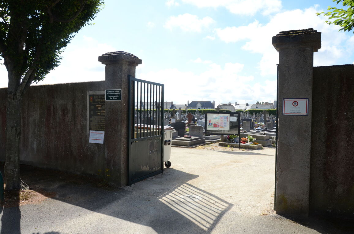
St. Malo Communal Cemetery, known locally as 'Rocabey' is approximately 1 kilometre north-east of the railway station. The main entrance to the cemetery is at the corner of Avenue du 47e Regiment d'Infanterie and Avenue de Moka.
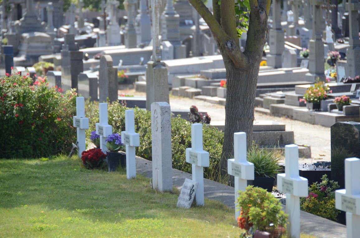
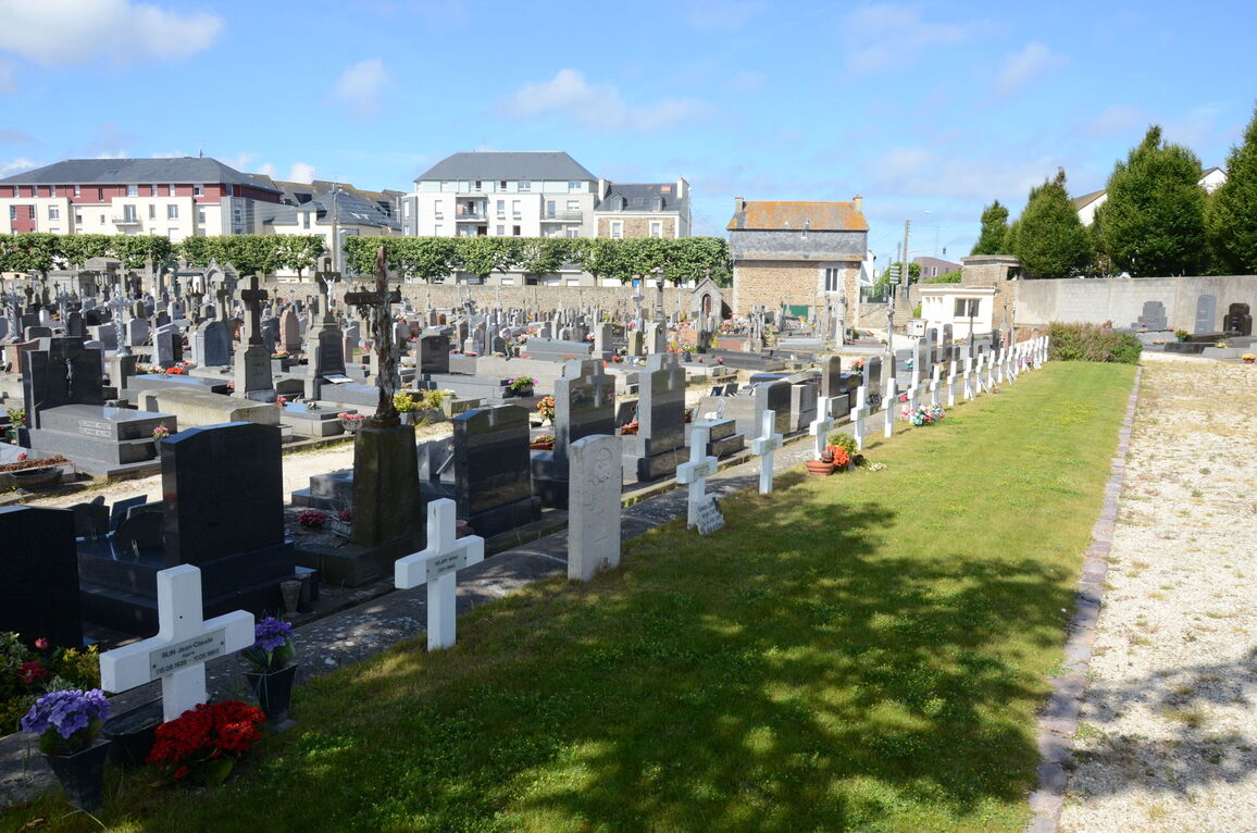
The single war grave is located in the military plot, north-west of the steps at the southern end of the path from the entrance.
History information
There is 1 unidentified Commonwealth burial of the 1939-1945 war here.
The cemetery is about a kilometre north-east of the station. In the military plot, north-west of the steps at the southern end of the path from the entrance in Avenue du 47e Regiment D'Infanterie, is the grave of an unidentified sailor of the Royal Navy.
St. Malo is a port, town and commune on the north coast of Brittany, about 70 kilometres by road north of Rennes. It was one of the seventeen ports used by the 1st British Expeditionary Force during the 1939-1945 War, through which 2,500 tons daily went to railheads. It was also a re-embarkation port for Line of Communication troops and material in June 1940.


