Marieux Communal Cemetery
- Country France
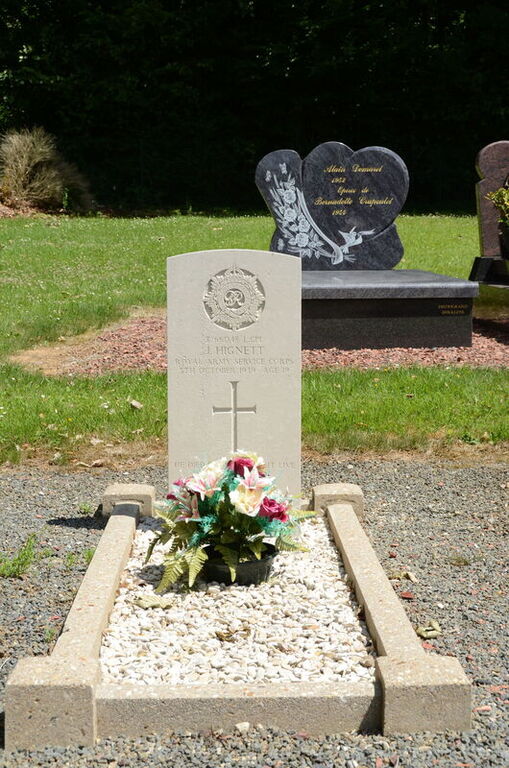
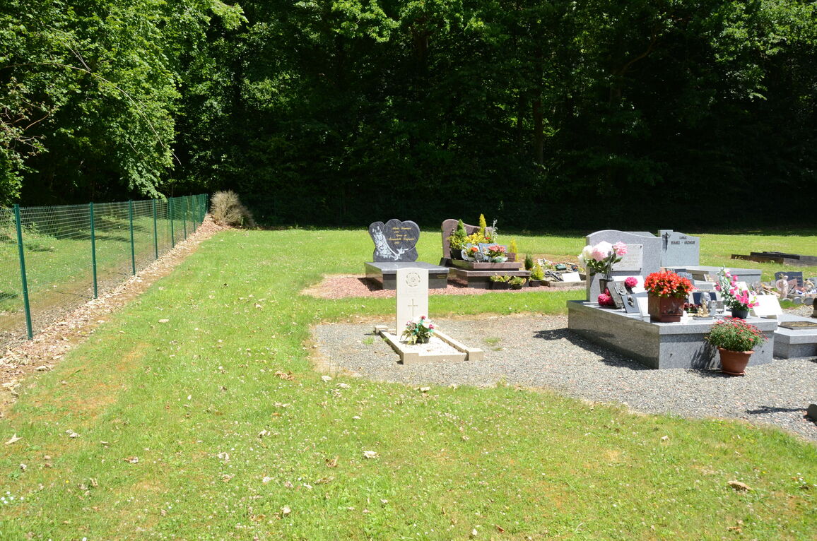
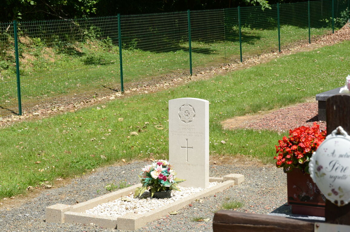
- Total identified casualties 1 Find these casualties
- Region Somme
- Identified casualties from Second World War
- GPS Coordinates Latitude: 50.11049, Longitude: 2.44548
Location information
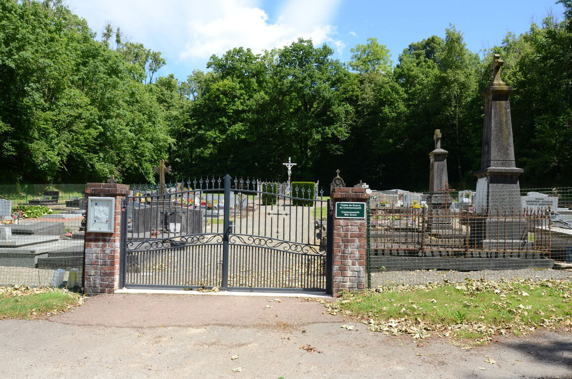
Marieux is a village and commune on the N.338 road from Albert to Doullens, a small town on the Amiens-St. Pol road. The communal cemetery is some 180 metres north of the N.338 road east of the point where it crosses the D.1 road to Thievres. There is a 1914-1918 War Memorial in the centre, and the British grave is about 15 metres north of this.