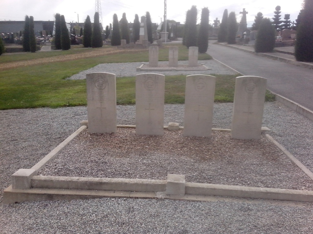
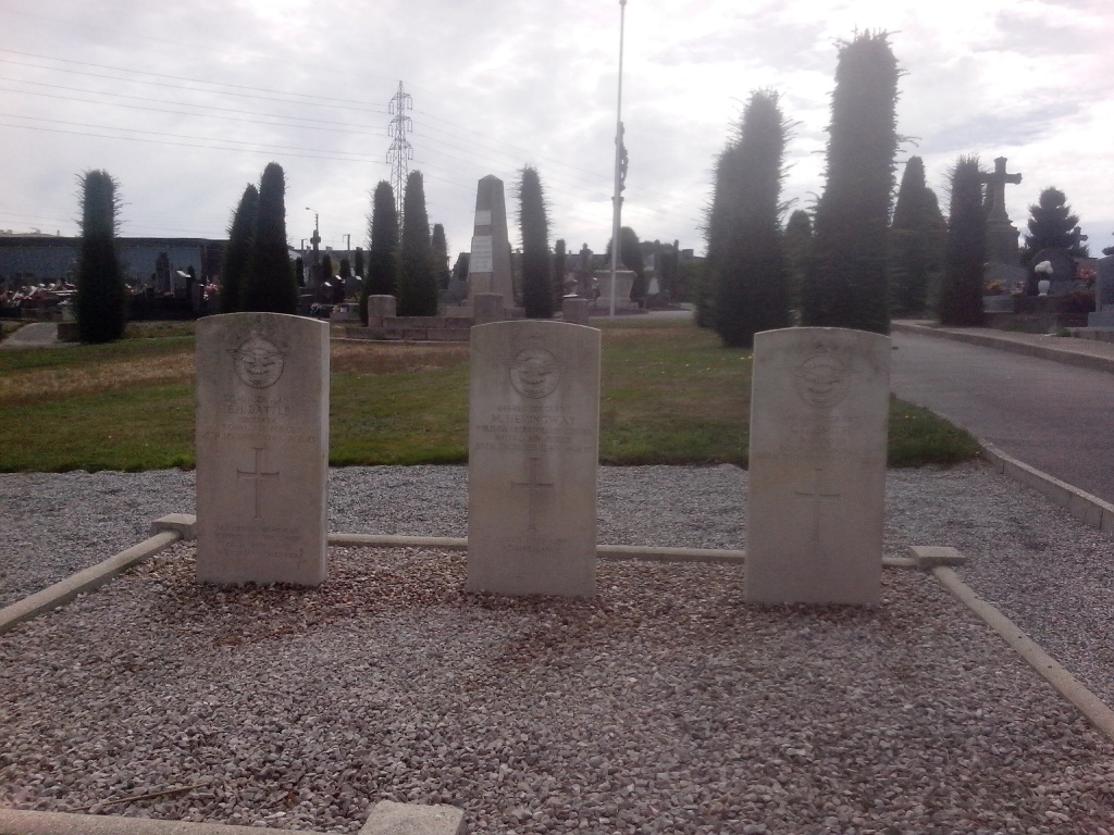
Lanester Communal Cemetery
- Country France
- Total identified casualties 7 Find these casualties
- Region Morbihan
- Identified casualties from Second World War
- GPS Coordinates Latitude: 47.76364, Longitude: -3.34443
Location information
Lanester is a small town on the outskirts of Lorient to the north-east. From the N24 take the junction for Port Louis. Follow the road towards Port Louis and take the third junction on the right, Rue Marcel Sembont. The cemetery entrance is on the left hand side next to a cafe.
Once inside the cemetery, take the main path to the centre crucifix, turn left and the graves are on the right.