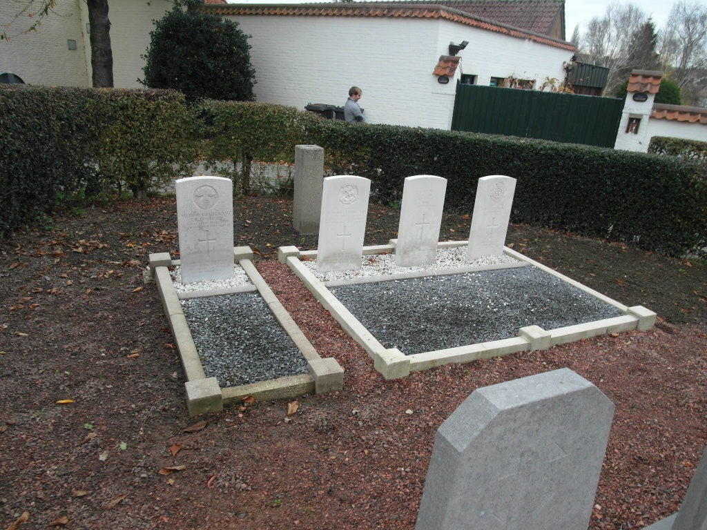
Moregem Churchyard
- Country Belgium
- Total identified casualties 3 Find these casualties
- Region Oost-Vlaanderen
- Identified casualties from First & Second World War
- GPS Coordinates Latitude: 50.85042, Longitude: 3.56183
Location information
The village of Moregem is located west of the town of Oudenaarde off the N60. From the motorway E40/A10, which runs between Oostende and Brussels, turn off at junction 15 onto the N60, direction Oudenaarde. Follow this road to the junction with N459 at Oudenaarde and turn onto the N459, direction Oudenaarde. Take the second turning right into Kortrijkstraat and follow this road to the first junction which is before the railway. Turn right into Kortrijkseheerweg and follow this road to Moregem, the church is in the village centre. The graves are located to the left of the church.
History information
The British Expeditionary Force was involved in the later stages of the defence of Belgium following the German invasion in May 1940, and suffered many casualties in covering the withdrawal to Dunkirk.
Moregem Churchyard contains two Commonwealth burials of the Second World War. Nearby, there is one grave from the First World War.