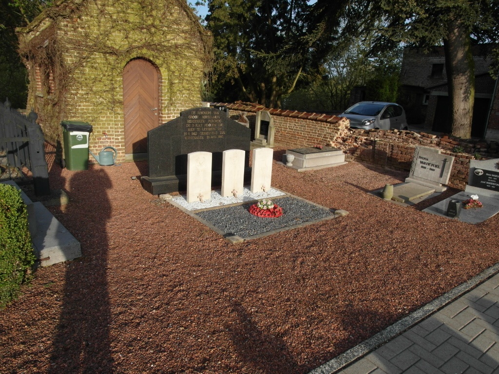
Kersbeek-Miskom Churchyard
- Country Belgium
- Total identified casualties 3 Find these casualties
- Region Vlaams-Brabant
- Identified casualties from Second World War
- GPS Coordinates Latitude: 50.88657, Longitude: 4.99484
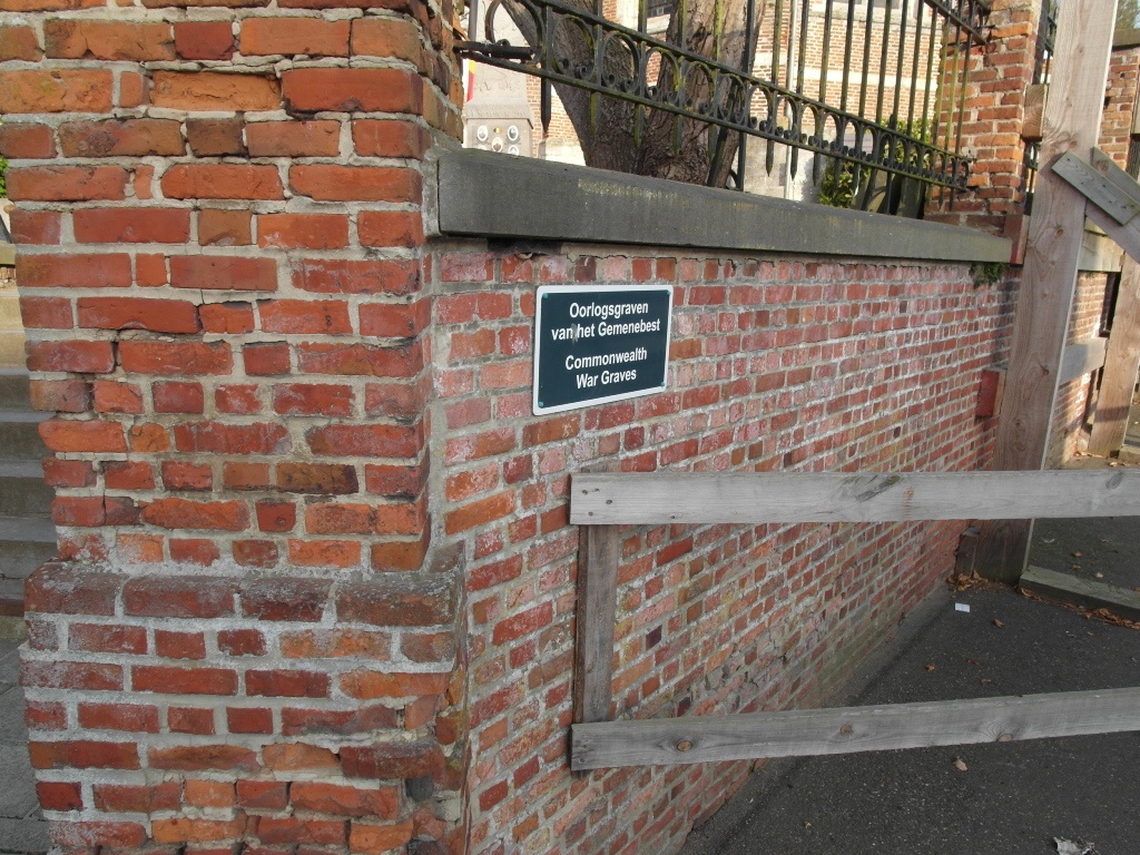
Location information
The village of Kersbeek-Miskom is a village is situated to the east of Leuven on the N29 which runs between Diest and Tienen. From the A2 motorway turn off at junction 24 Bekkevoort and then turn onto the N29. Follow the N29 to the village of Glabbeek-Zuurbemde. In the village turn left in the direction of Zuurbemde. Drive through the village of Zuurbemde and Kersbeek is the next village. On entering Kersbeek, turn left into Kersbeek-Dorp and the church is just past the first turning on the left.The Commonwealth graves are located at the rear of the church.
History information
The British Expeditionary Force was involved in the later stages of the defence of Belgium following the German invasion in May 1940, and suffered many casualties in covering the withdrawal to Dunkirk. Commonwealth forces did not return until September 1944, but in the intervening years, many airmen were shot down or crashed in raids on strategic objectives in Belgium, or while returning from missions over Germany.
Kersbeek-Miskom Churchyard contains the graves of three Commonwealth airmen of the Second World War.