Tienen Communal Cemetery
- Country Belgium
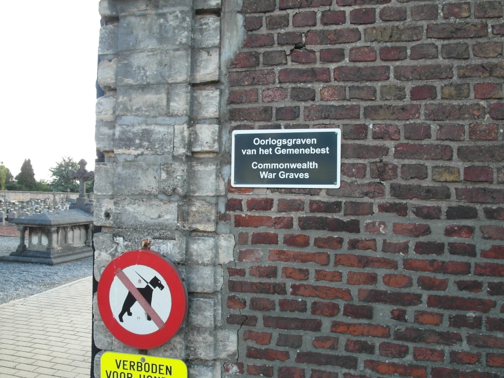
- Total identified casualties 4 Find these casualties
- Region Vlaams-Brabant
- Identified casualties from Second World War
- GPS Coordinates Latitude: 50.81449, Longitude: 4.92744
Location information
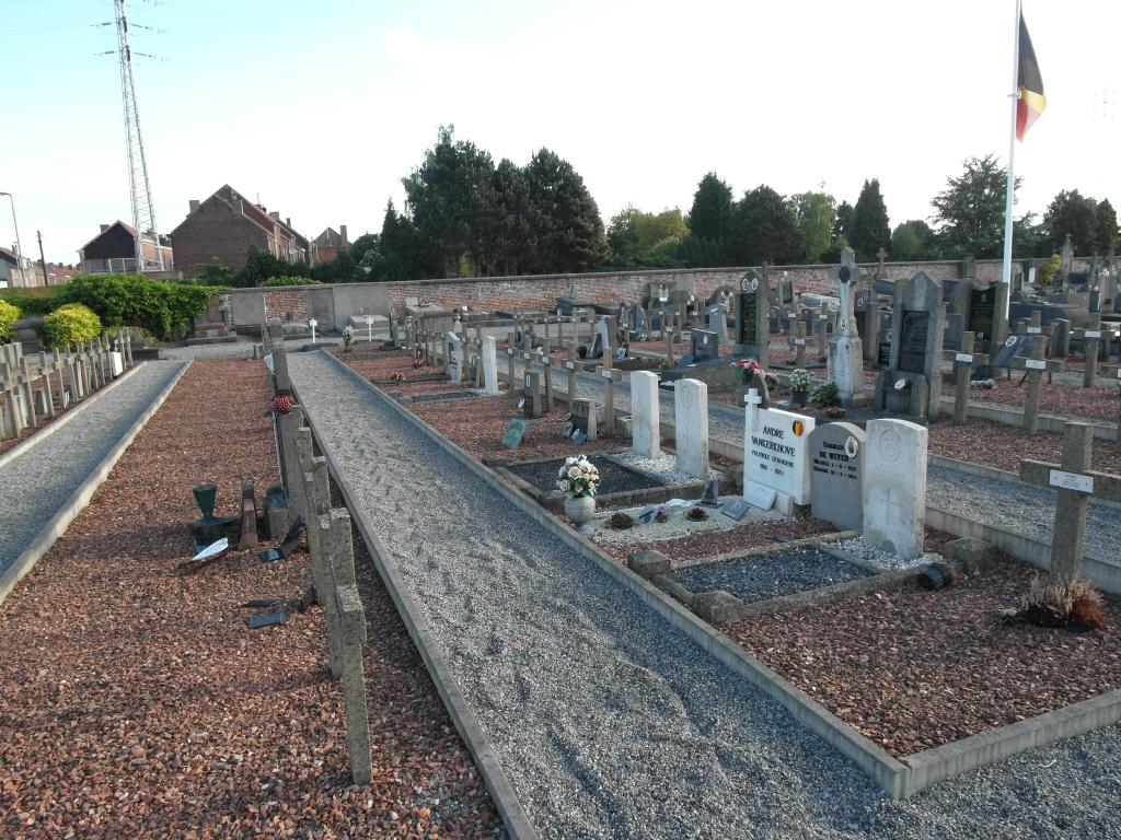
The town of Tienen is located off the E40 motorway which runs between Brussel and Luik. From the E40 turn off at junction 25 Tienen and onto the N29 direction Tienen. After the junction with the R27 the N29 and the N3 merge to go round the town, from this road the N29 turns right towards Diest, turn right here then take the first turn left followed by the first turn right. This road is called Pollepelstraat, the cemetery is along here on the left. The graves are located to the left of the entrance in the Belgian Military plot.
History information
The British Expeditionary Force was involved in the later stages of the defence of Belgium following the German invasion in May 1940, and suffered many casualties in covering the withdrawal to Dunkirk. Commonwealth forces did not return until September 1944, but in the intervening years, many airmen were shot down or crashed in raids on strategic objectives in Belgium, or while returning from missions over Germany.
Tienen Communal Cemetery contains four Commonwealth burials of the Second World War.