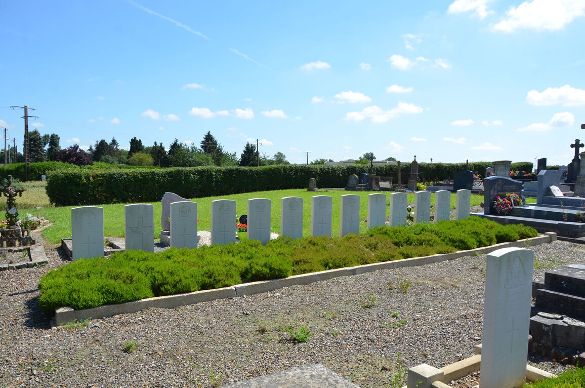
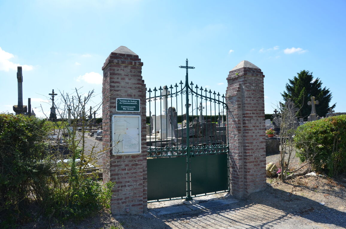
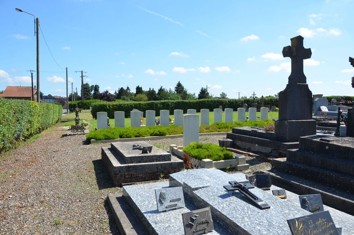
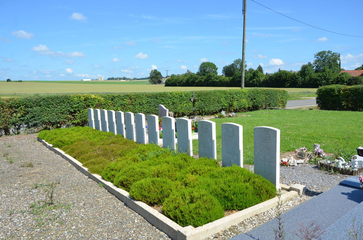
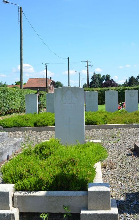
Levergies Communal Cemetery
- Country France
- Total identified casualties 13 Find these casualties
- Region Aisne
- Identified casualties from First World War
- GPS Coordinates Latitude: 49.93036, Longitude: 3.30867
Location information
Levergies is a village in the north-western sector of the Department of the Aisne, 10 kilometres north of St Quentin.
The Communal Cemetery is situated to the north of the village on the D71 which connects Levergies with Joncourt, and the Commonwealth War Graves will be found on the left of the entrance within the cemetery.
History information
Levergies was captured by the 32nd Division on the 30th September, 1918.
There are now over 10, 1914-18 war casualties commemorated in this site. All who fell on the 3rd and 4th October, 1918.


