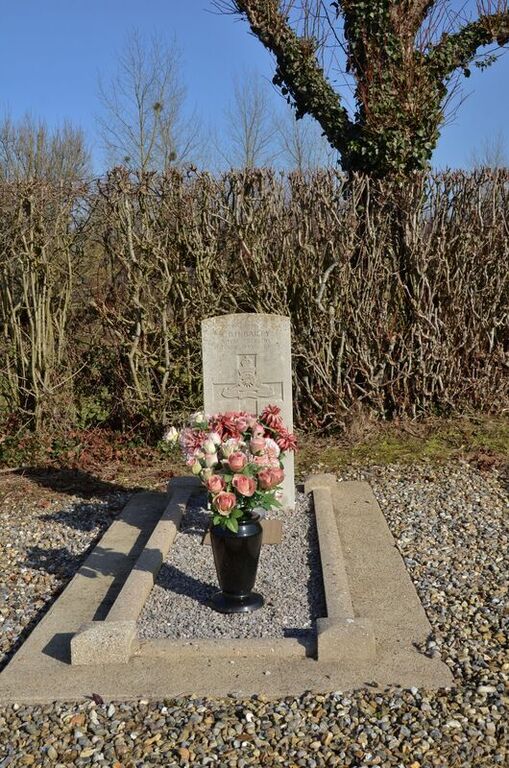
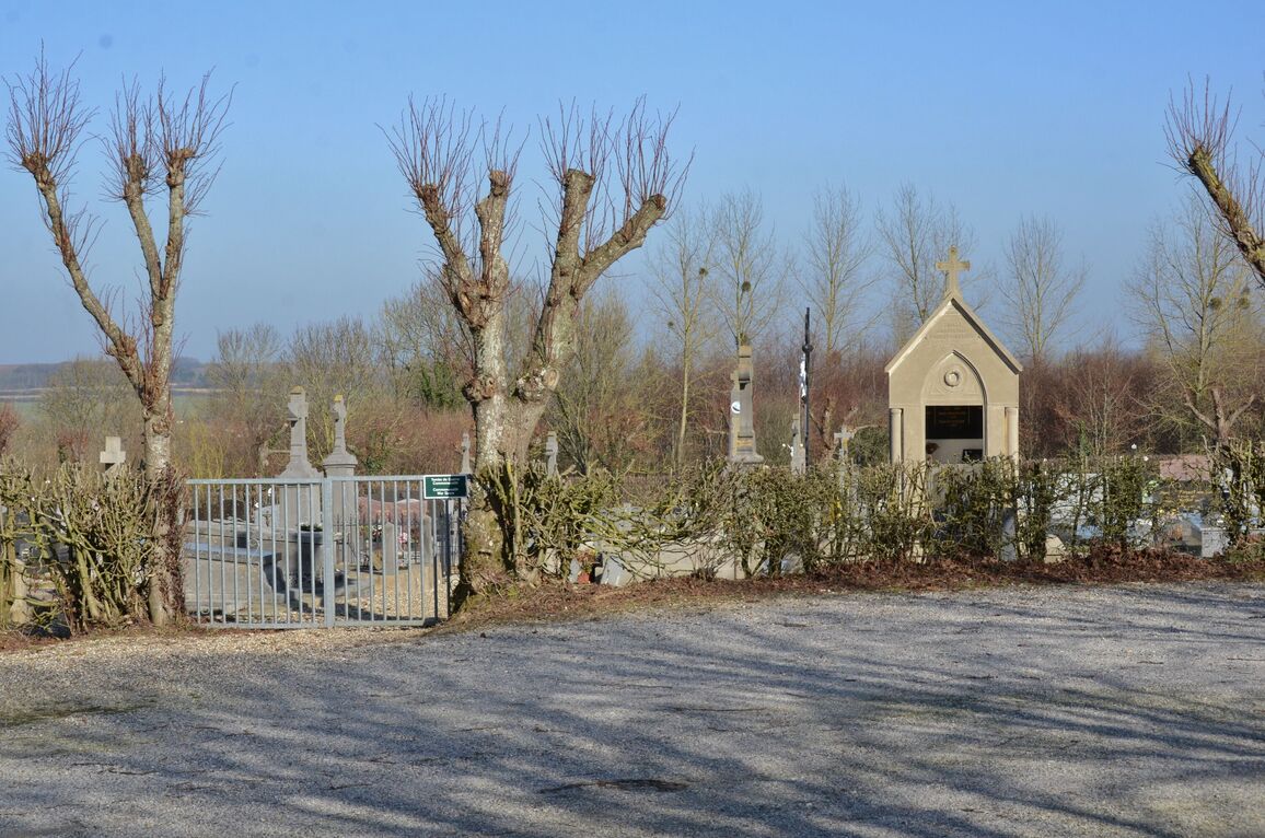
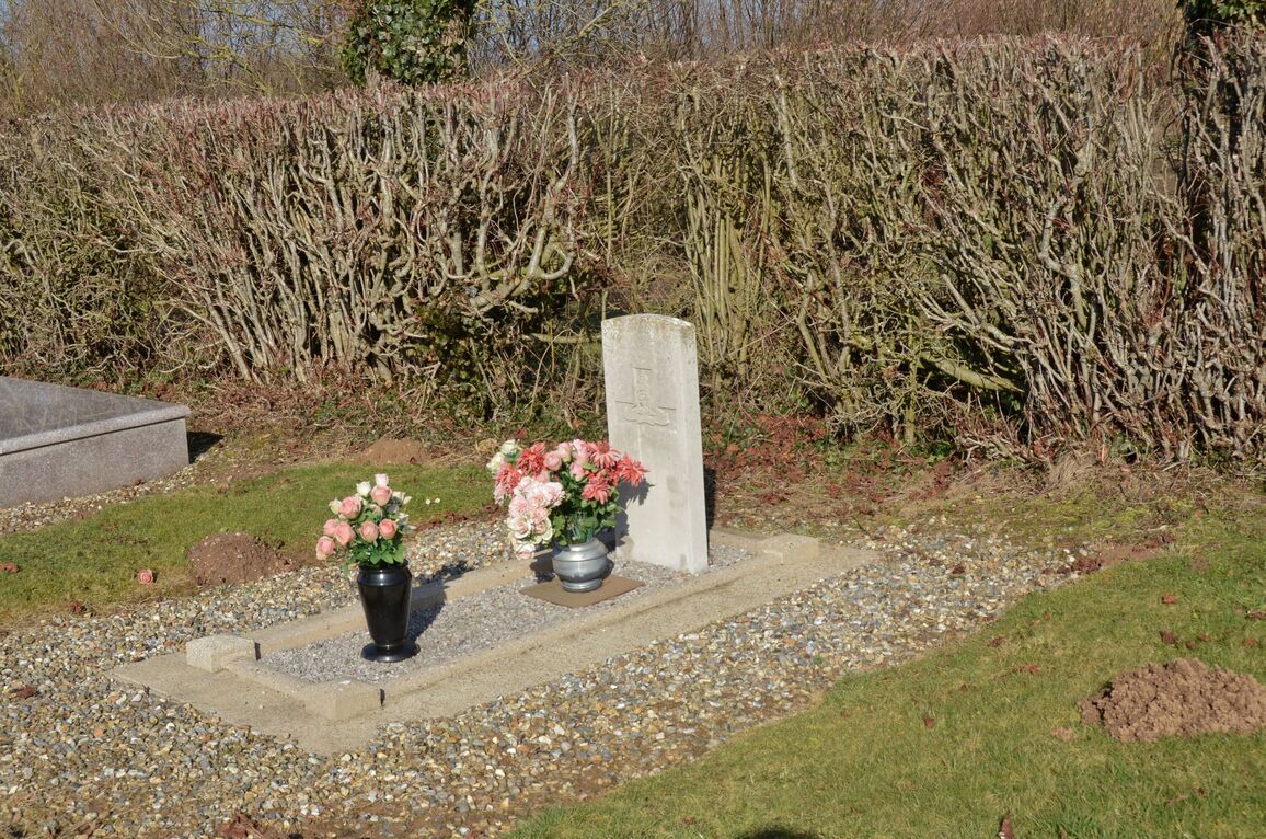
Argoules Communal Cemetery
- Country France
- Total identified casualties 1 Find these casualties
- Region Somme
- Identified casualties from Second World War
- GPS Coordinates Latitude: 50.33685, Longitude: 1.83054
Location information
Argoules is a village and commune 26 kilometres north of Abbeville and 6 kilometres south-east of Nampont-St-Martin, a village on the N.1 road.
The communal cemetery is about 546 metres south-west of the village square, on the D.179 road.
History information
The British grave is in the northern part near the hedge between the northern and eastern corners of the cemetery.


