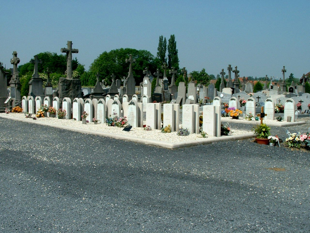
Leers Communal Cemetery
- Country France
- Total identified casualties 10 Find these casualties
- Region Nord
- Identified casualties from First & Second World War
- GPS Coordinates Latitude: 50.68119, Longitude: 3.24936
Location information
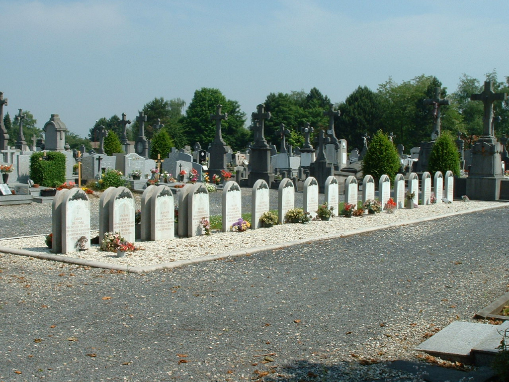
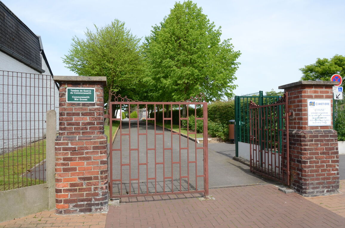
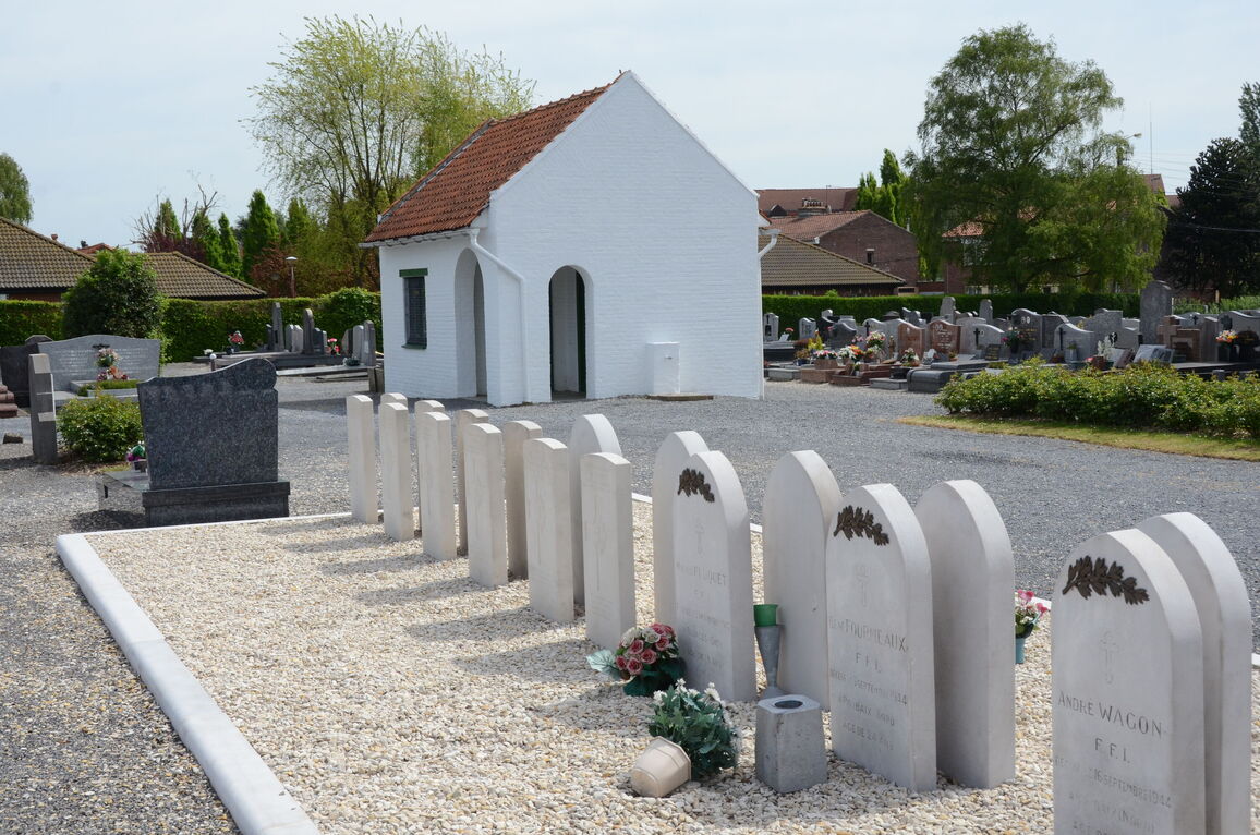
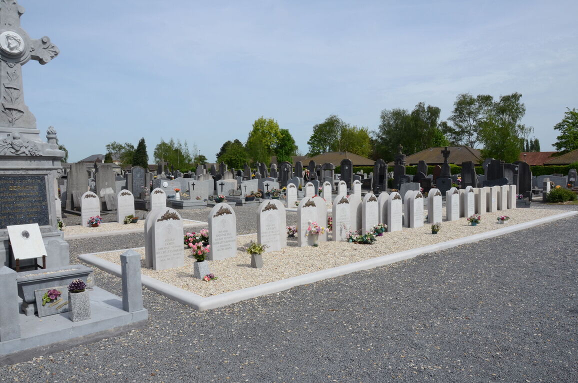
Leers-Nord is a village on the eastern outskirts of the town of Roubaix. It is 16 kilometres north-east of Lille. The Communal Cemetery is behind the church and the Commonwealth war graves are to the right of the war memorial.
History information
There are now a small number of both 1914-18 and 1939-45 war casualties commemorated in this site.