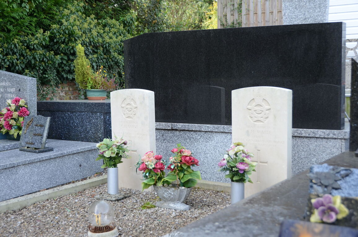
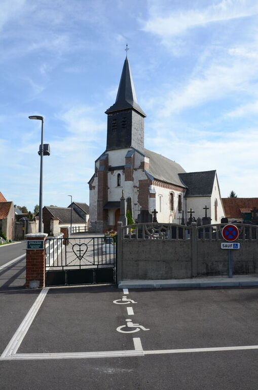
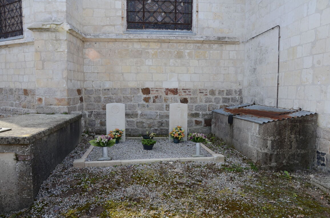
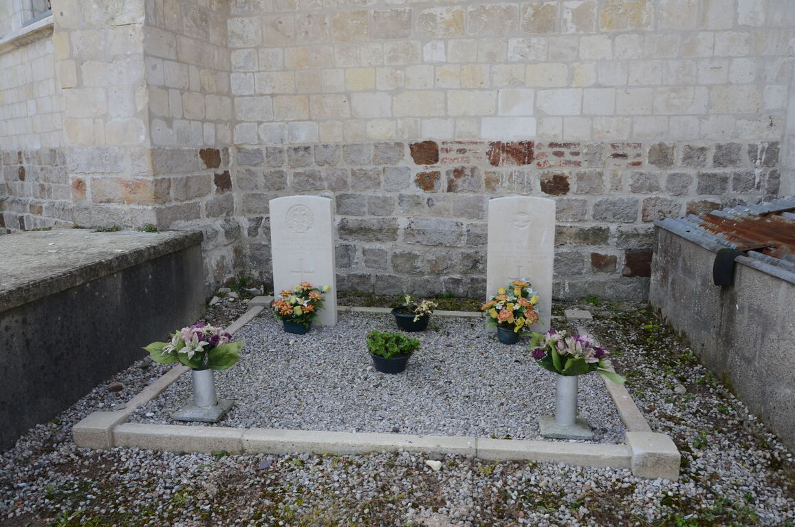
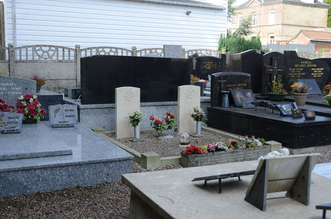
Monchy-Breton Churchyard
- Country France
- Total identified casualties 4 Find these casualties
- Region Pas de Calais
- Identified casualties from First & Second World War
- GPS Coordinates Latitude: 50.39917, Longitude: 2.44332
Location information
Monchy Breton is a small village in the department of Pas-de-Calais, some 35 kilometres north-west of Arras. Take the N39 Arras-St Pol; at Tincques turn right in the direction of Chelers, Monchy Breton.
The churchyard is in the centre of the village. One plot is in the north-west part of the churchyard against the church wall, and the second plot is in the south-west part.


