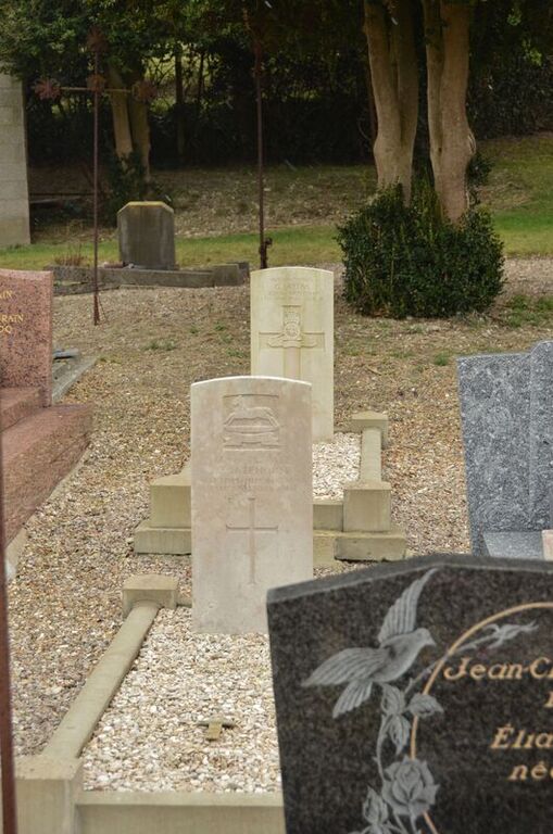
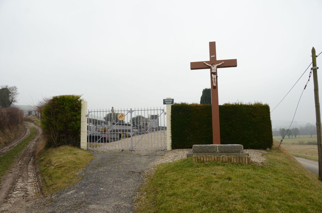
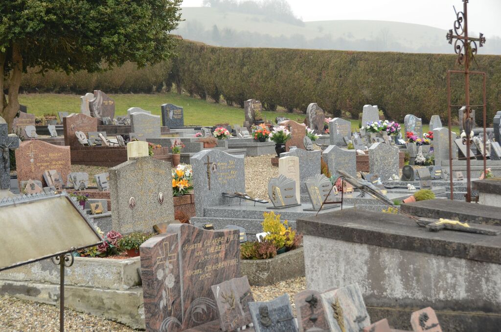
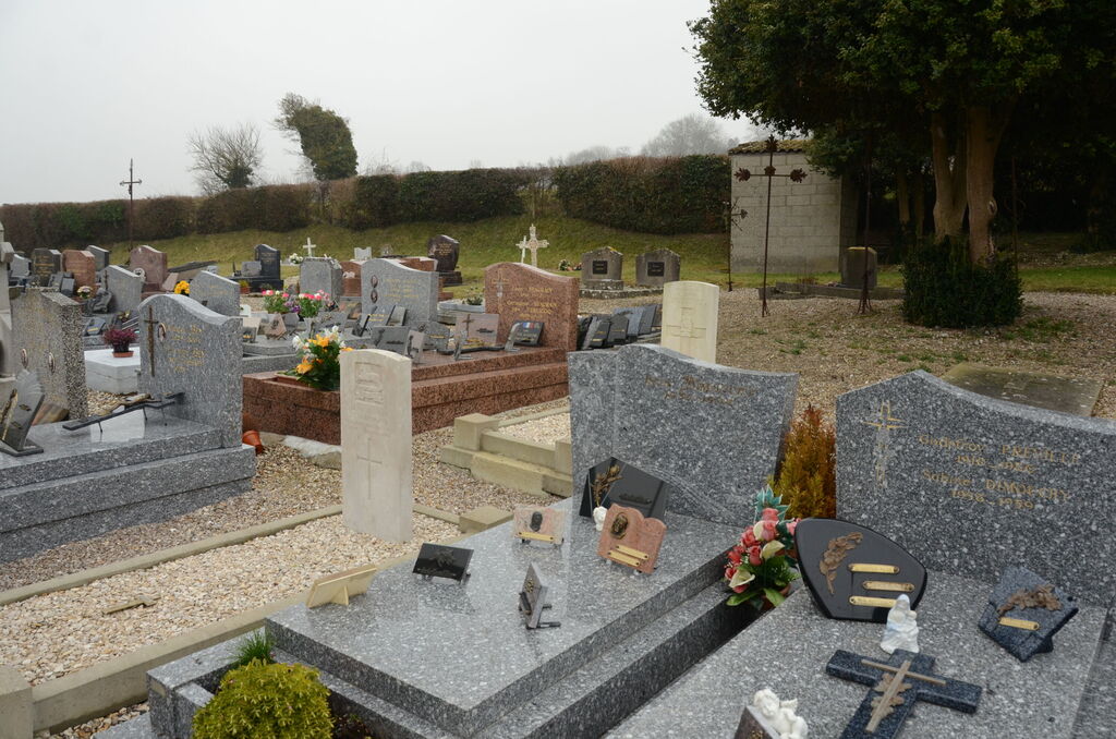
Pierrecourt Communal Cemetery
- Country France
- Total identified casualties 2 Find these casualties
- Region Seine-Maritime
- Identified casualties from First & Second World War
- GPS Coordinates Latitude: 49.89278, Longitude: 1.65735
Location information
Pierrecourt is a village and commune 42 kilometres east of Dieppe, and 5 kilometres south-east of Blagny-sur-Bresle, where the N.15 bis road from Le Treport to Paris crosses the N. 28 Rouen to Abbeville road. The communal cemetery is south of the village, 450 metres from the church in a lane leading to Realcamp.


