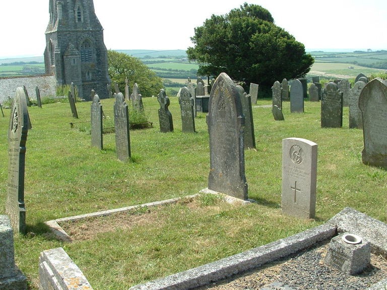
St. Minver (St. Enodoc) Churchyard
- Country United Kingdom
- Total identified casualties 2 Find these casualties
- Region Cornwall
- Identified casualties from First & Second World War
- GPS Coordinates Latitude: 50.55793, Longitude: -4.92157
History information
This is due West of St. Minver village, near the estuary of the Camel. It contains two British War Graves, including that of an unidentified seaman of the "Armenian." from the 1914-18 war and 1 burial of the 1939-45 war.


