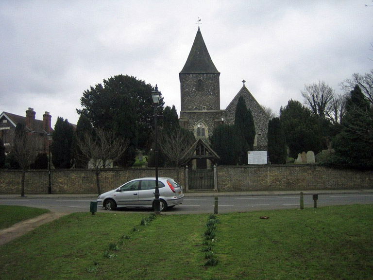
St. Paul's Cray (St. Paulinus) Churchyard
- Country United Kingdom
- Total identified casualties 4 Find these casualties
- Region Kent
- Identified casualties from First & Second World War
- GPS Coordinates Latitude: 51.40174, Longitude: 0.11715
History information
The church was originally dedicated to St. Paulinus, but in 2003 it became an independent gospel church and was renamed 'The Redeemed Christian Church of God, His Royal Majesty House, Orpington.' The churchyard contains one First World War burial and three Second World War burials.