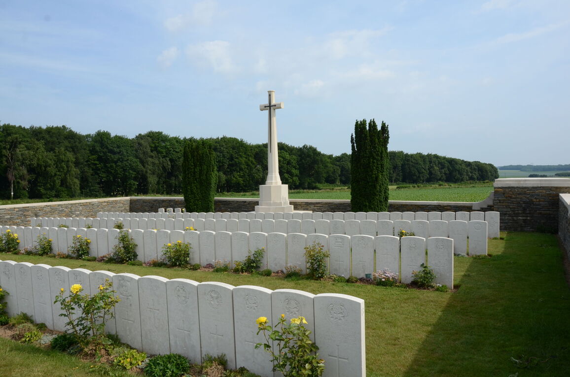
Queens Cemetery, Puisieux
- Country France
- Total identified casualties 181 Find these casualties
- Region Pas de Calais
- Identified casualties from First World War
- GPS Coordinates Latitude: 50.10563, Longitude: 2.65811
Please note
After experiencing some issues between visitors and local residents, we remind visitors that the neighbours are keen not to be disturbed by visitors on site.
Should you choose to visit this cemetery, please strictly abide by the following:
- Only park in front of CWGC Serre Road Nr. 1 cemetery and not on verges, tracks of farm storage areas.
- Do not enter private property (for example, by walking on adjoining land).
- Take your litter home.
- Respect the tranquillity of the area.
- Do not use metal detectors or remove any artefacts (please note that you can only use metal detectors to find historical artefacts with authorization by the area prefecture).
Should you encounter any problems when visiting this cemetery, we recommend you leave at once and file a formal complaint by:
- contacting the local police (Gendarmerie) at Beaumetz-lès-Loges, tel +33 3 21 55 22 17 or
- e-mailing the town hall of Serre-les-Puisieux at ville.puisieux@wanadoo.fr, or
- making a statement at your local police station and sending a copy to the British Embassy, 35 rue du Faubourg St-Honoré, 75383 Paris Cedex 08 or via email bds.commemorations@fco.gov.uk who will then forward it to the local authorities.
Location information
Puisieux is a village 15 kilometres north of Albert and 26 kilometres south of Arras.
The easiest way to reach the cemetery is to follow the D919 from Arras (sometimes indicated as N319), through the villages of Ayette, Bucquoy and Puisieux. Continue along this road, past the tiny village of Serre-les-Puisieux, until you come to a large farm surrounded by tall poplar trees and adjacent to the large Serre Road Cemetery No.1. On your right you will see a set of CWGC direction signs indicating the way to a group of small cemeteries and the Sheffield Memorial Park. Queens Cemetery Puisieux is the second cemetery along the dirt track. It is situated in open fields facing the memorial park.
Visiting information
ARRIVAL
The cemetery is signposted at the junction of the main road and the single vehicle width track branching off the D919, leading to a number of cemeteries.
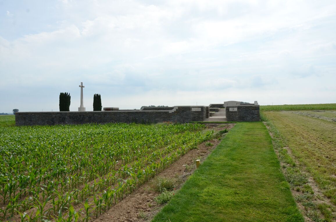
Located approximately 900 metres back from the main road, off to the side of a single vehicle width dirt track, in front of an area of woodland, close to Sheffield Memorial Park and Railway Hollow Cemetery.
PARKING
There is a designated parking area to the front of Serre Road No. 1 Cemetery. This is the only area where vehicles are officially permitted to park. The farm track is not open to public vehicles.
There is space at the front of Serre Road No. 1 Cemetery for multiple vehicles. The ground is flat and firm with a tarmac surface.
Please do not park on verges or on private property near to agricultural buildings or farmland.
ACCESS LAYOUT AND MAIN ENTRANCE
The cemetery is over 800 metres back from the main road at the end of a private single vehicle width farm track. Visitors should follow the grass path through agricultural field to the main entrance. The grass path is approximately 100 metres long.
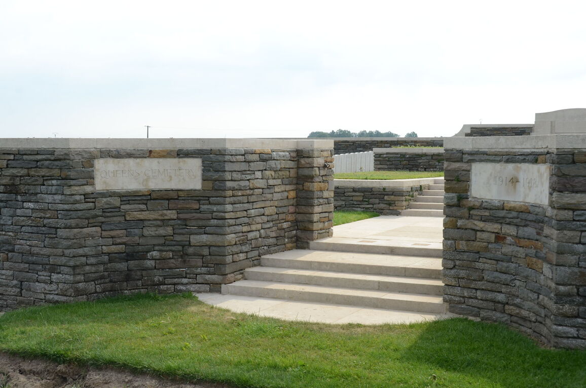
There are 3 flights of stone steps, each from 5 to 8 steps, leading to 3 platforms at separate levels, up from the main entrance. There is a metal chain at the entrance, which is unhooked on the left side.
There is a stone seating area built into the rear wall at the top level.
Access to the burial area is at the top of the first set of steps, to the left of the platform. There is grass between the platform and a narrow stone step 50 to 150 mm higher than the grass in the burial area. The two upper platforms have vertical drops of up to 1.2 metres down to the burial area at the paving edge level with the grass.
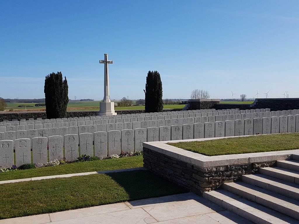
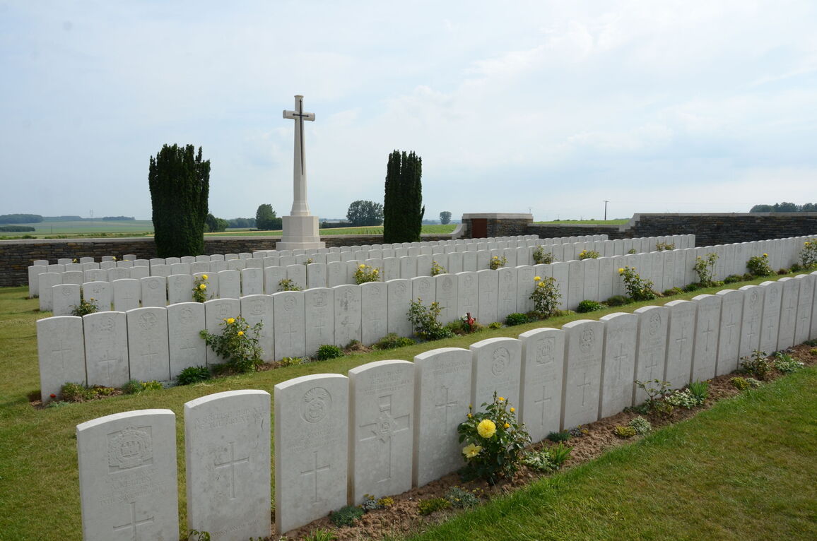
The Cross of Sacrifice is at the rear of the cemetery, in the centre, to the left of the main entrance on the lowest level of the cemetery in the burial area.
The Register Box is built into the right gate column, viewed from inside the cemetery.
Internal cemetery paths in the burial area are grass, and the ground is flat.
ALTERNATIVE ACCESS
There is no alternative access into the cemetery.
ADDITIONAL INFORMATION
IMPORTANT : We request that visitors to Queens Cemetery, Puiseux, only park in the designated area in front of Serre Road No 1. Cemetery.
The cemetery is permanently open.
History information
The village of Puisieux was taken by Commonwealth forces on the 28 February 1917, lost on the 26 March 1918 and recovered on the following 21 August.
In the spring of 1917, the battlefields of the Somme and Ancre were cleared by V Corps and a number of new cemeteries were made. Queens Cemetery (originally known as Queens V Corps Cemetery No 4) is on the old front line of July 1916, south of Mark Copse, one of four small plantations that were on or close behind the line between Serre and Hebuterne. The graves are of casualties of the 31st, 3rd and 19th Divisions who died in July and November 1916, and February 1917.
There are now 311 First World War burials in the cemetery, 131 of them unidentified.
The cemetery was designed by N A Rew.


