Niederkruchten Cemetery
- Country Germany
- Total identified casualties 0 Find these casualties
- Region Nordrhein-Westfalen
- Identified casualties from Second World War
- GPS Coordinates Latitude: 51.19668, Longitude: 6.22354
Location information
Niederkrütchen is a small village in west Germany, close to the Dutch / German Border. Niederkrütchen is approx 20 km west of Mönchengladbach and approx 20 kms east of Roermond.
From the A52 Mönchengladbach to Roermond motorway take exit 3 (Ausfahrt 3) NIEDERKRÜCHTEN / BRÜGGEN / WASSENBERG and follow B221 direction NIEDERKRÜCHTEN. Continue for approx 1.6 km along BIRTHER STRAßE and turn left onto AN FELDERHAUSEN, continue for approx 600 m, then turn right onto ERKELENZER STRAßE, continue for approx 100 m turn left onto FRIEDHOFSALLEE. The main cemetery entrance can be found 200 m along this road.
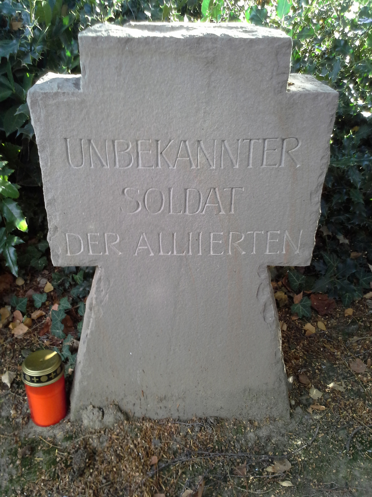
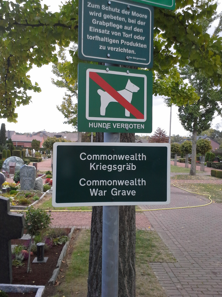
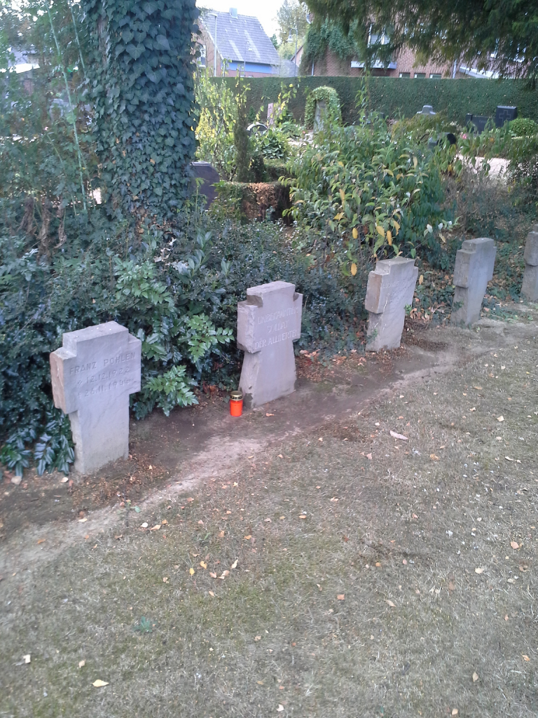
On entering the cemetery continue straight for approx 20 m then turn left, continue for a further 30m to the war graves plot. The CWGC grave (stone cross) is the 4th grave on the left side of the plot.
The cemetery address is:
Friedhofsallee
41372 Niederkrüchten
Germany
GPS Co-ordinates: N 51 11 48, E 06 13 24
History information
This civil cemetery contains one unidentified Commonwealth burial of the Second World War.