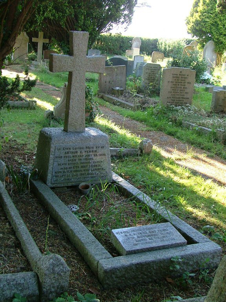
Ulcombe (All Saints) Churchyard Extension
- Country United Kingdom
- Total identified casualties 3 Find these casualties
- Region Kent
- Identified casualties from First & Second World War
- GPS Coordinates Latitude: 51.2178, Longitude: 0.64202
History information
The Extension is across the road from the Churchyard. The burials are near the North boundary.