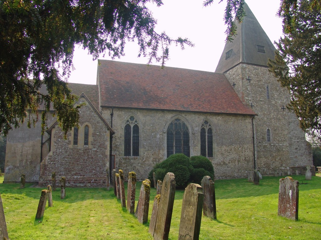
Hunton (St. Mary) Churchyard Extension
- Country United Kingdom
- Total identified casualties 4 Find these casualties
- Region Kent
- Identified casualties from First & Second World War
- GPS Coordinates Latitude: 51.22127, Longitude: 0.46804
History information
The extension is across a by-road, North-East of the Churchyard. The burials are on the North-West boundary, by the main road.