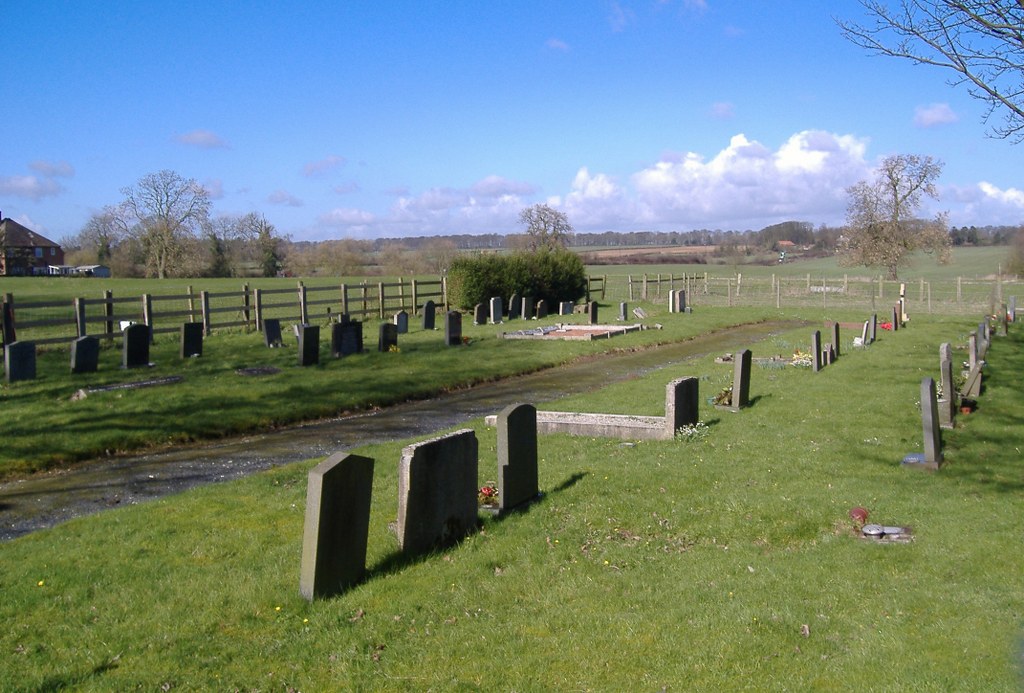
Bainton (St. Andrew) Churchyard And Extension
- Country United Kingdom
- Total identified casualties 3 Find these casualties
- Region Yorkshire
- Identified casualties from First & Second World War
- GPS Coordinates Latitude: 53.95816, Longitude: -0.53109
Visiting information
Please note, the extension is a short walk east of the churchyard along Applegarth Lane.


