Cootehill (Holy Trinity) Churchyard
- Country Ireland, Republic of
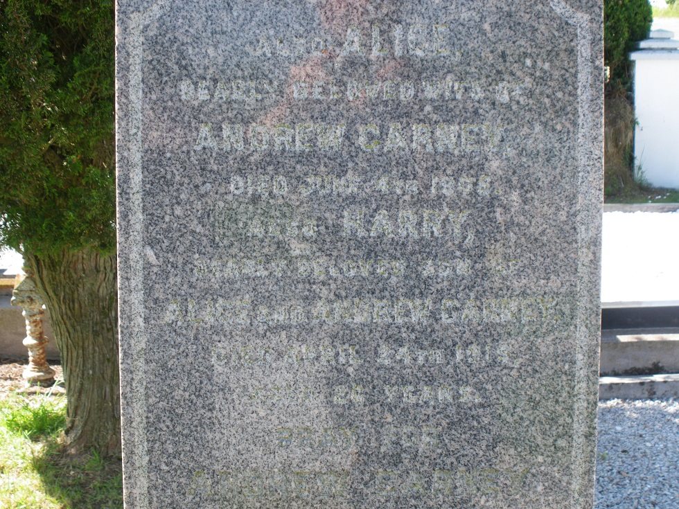
- Total identified casualties 1 Find these casualties
- Region County Monaghan
- Identified casualties from First World War
- GPS Coordinates Latitude: 54.10875, Longitude: -7.06396
Location information
Ordnance Survey Map Reference: - Map 28A – 613182
Visiting information
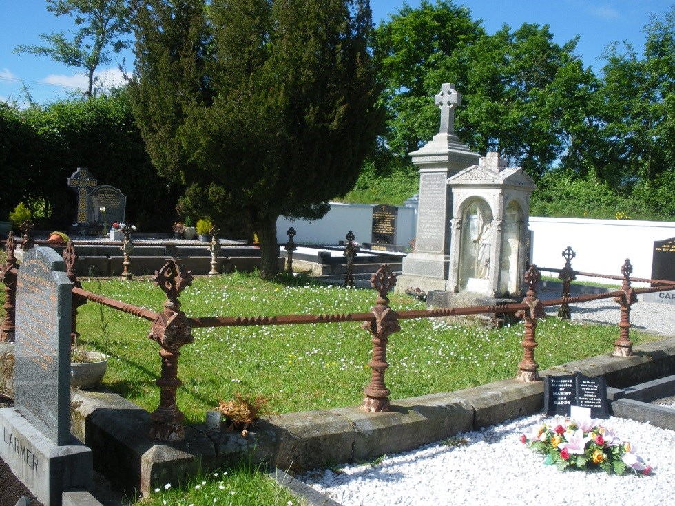
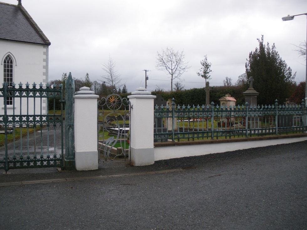
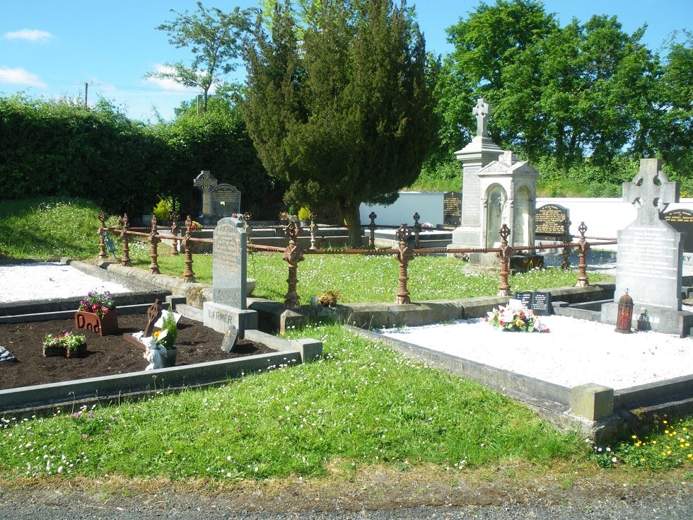
This grave is located to right of entrance gates. 2 graves in on right side from entrance path and 2 graves down from roadside boundary wall.


