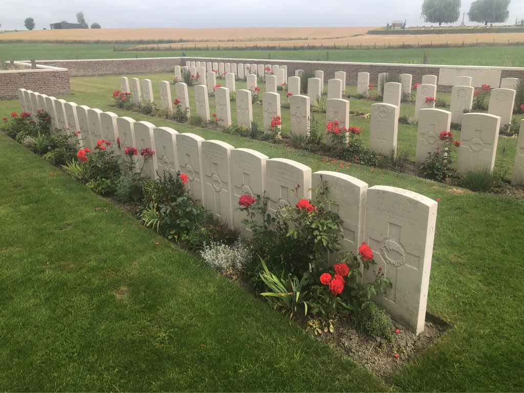
Mud Corner Cemetery
- Country Belgium
- Total identified casualties 84 Find these casualties
- Region Hainaut
- Identified casualties from First World War
- GPS Coordinates Latitude: 50.74213, Longitude: 2.89856
Location information
Mud Corner Cemetery is located 12 Kms south of Ieper town centre, on a road leading from the Rijselseweg N365, which connects Ieper to Wijtschate, Mesen, Ploegsteert and on to Armentieres.
From Ieper town centre the Rijselsestraat runs from the market square, through the Lille Gate (Rijselpoort) and directly over the crossroads with the Ieper ring road. The road name then changes to the Rijselseweg.
2 Kms after Mesen lies the left hand turning onto rue St Yvon. Immediately after passing Prowse Point Military Cemetery lies a right hand turning onto a small road track (unsuitable for vehicles), 300 metres after this junction lies the cemetery.
Visiting information
This cemetery is located in the wood at Ploegsteert and access is only possible via a track in the woods to which motor vehicles are not allowed - a post is in position preventing vehicle access. This site makes wheelchair access very difficult. If disabled visitors cannot get to this cemetery without being driven by car, they should contact our office in Ieper well in advance of their visit - Telephone (057) 22 47 50, so that arrangements can be made with our local staff to open up the track.
For further information regarding wheelchair access, please contact enquiries@cwgc.org or 01628 507200.
History information
Mud Corner was the name given to a road junction on the northern edge of Ploegsteert Wood, very close to the front.
The cemetery was used from 7 June 1917, when the New Zealand Division captured Messines, to December 1917. All of the burials, save one, are of New Zealand or Australian forces.
The cemetery contains 85 First World War burials.
The cemetery was designed by G H Goldsmith.


