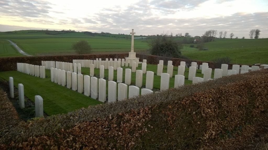
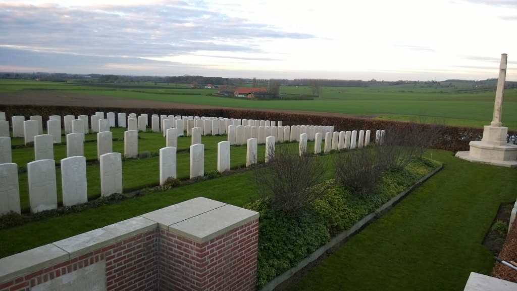
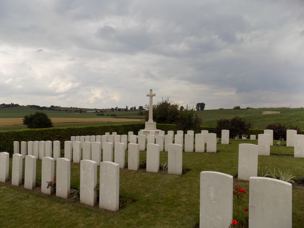
Westhof Farm Cemetery
- Country Belgium
- Total identified casualties 136 Find these casualties
- Region West-Vlaanderen
- Identified casualties from First World War
- GPS Coordinates Latitude: 50.7373, Longitude: 2.80557
Location information
Westhof Farm Cemetery is located 13.5 Kms south of Ieper town centre, on a road leading from the Kemmelseweg N 331, which connects Ieper to Kemmel and on to Nieuwkerke.
From Ieper town centre the Kemmelseweg is reached via the Rijselsestraat, through the Lille Gate (Rijselpoort) and straight on towards Armentieres (N365). 900 metres after the crossroads is the right hand turning onto the Kemmelseweg (made prominent by a railway level crossing). After passing the village of Kemmel the N331 continues for 4 Kms towards Nieuwkerke. On reaching Nieuwkerke the N331 continues on as Seulestraat. 1.5 Kms along this road lies the right hand turning onto the Eikelstraat. The cemetery is located 1.4 Kms along the Eikelstraat on the left hand side of the road.
Visiting information
ARRIVAL
The route to the cemetery is not signposted.
PARKING
The cemetery is at the side of a tall hedge lined, single lane minor country road (Eikelstraat).
At the bottom end of the cemetery (furthest from the main entrance) there is space for 2 vehicles on a small single vehicle-width concrete hard standing area.
From the parking area, the entrance to the cemetery is approximately 30 metres uphill along the road.
ACCESS LAYOUT AND MAIN ENTRANCE
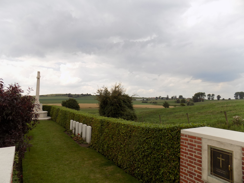
The cemetery is in agricultural land, next to a single lane road, the cemetery is on a hill, rectangular in shape and surrounded by a hedge.
The main entrance has a 1.2 metre-wide steep paved ramp up from the road and opens into a square paved area with a stone bench and the cemetery Register Box. There are no gates.
The Register Box is mounted into the internal wall on the right-hand side at the main entrance. Leading into the cemetery is a 100 mm high step across the opening with a central section 800 mm wide level with the paving and slopes up to the grass inside the cemetery. On either side of the ramped paving is a 100 mm high strip of paving.
There is a stone bench built into the wall opposite the ramp up to main entrance.
A grassed path slopes upwards from the entrance to the Cross of Sacrifice, with an additional sloped section leading up into main part of the cemetery. There is a wooden bound planted area, with a 100 mm tall section of timber along the sides between the path leading up to the Cross. The timber is level with the grass along the main part of the cemetery and drops off steeply to the planted area and lower path below. All internal paths are grass and the ground is sloped and can be uneven.
ALTERNATIVE ACCESS
There are no alternative entrances into the cemetery.
ADDITIONAL INFORMATION
The cemetery is permanently open.
History information
Westhof Farm was used by the New Zealand Division as headquarters in May and June 1917.
The cemetery was begun in May 1917 and used by fighting units and field ambulances until April 1918, when it passed into German hands for five months.
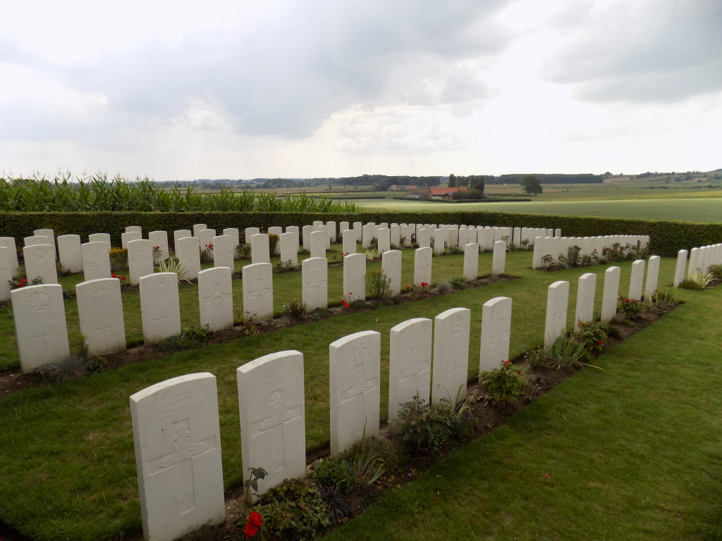
There are now 131 Commonwealth servicemen of the First World War buried or commemorated in this cemetery, including special memorials to six casualties whose graves were destroyed by shell fire. There are also five German war graves in the cemetery.
The cemetery was designed by G H Goldsmith.