Pond Farm Cemetery
- Country Belgium
- Total identified casualties 297 Find these casualties
- Region West-Vlaanderen
- Identified casualties from First World War
- GPS Coordinates Latitude: 50.76906, Longitude: 2.84544
Location information
Pond Farm Cemetery is located south-west of Ieper near the village of Wulvergem. From Ieper town centre follow the Rijselstraat to the roundabout at the ring road; go straight over the roundabout and follow direction for Armentieres. In the next village at the roundabout bear right in the direction of Mesen. Follow the main road straight through Wijtschate and onto Mesen. On reaching the village of Mesen, turn right at the crossroads in the direction of Wulvergem. At the crossroads in Wulvergem by the church turn right in the direction of Wijtschate. Follow this road for a short distance then take the first turning left into Vrooilandstraat. The cemetery is along here on the left.
Visiting information
ARRIVAL
The route to the cemetery is signposted.
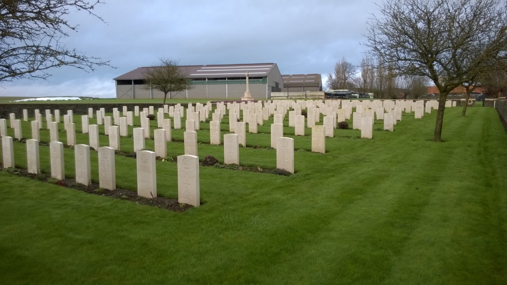
The cemetery is in agricultural land.
PARKING
There is space for 1 vehicle to park on the verge at the side of the main road, next to the cemetery sign indicating the route to the cemetery.
There is a grass track, approximately 900 mm wide track from the cemetery direction sign / parking area to a concrete farm track, 150 metres from the road. The concrete track runs between agricultural buildings on a working farm, another 70 metres to a green metal gate near the pond and wooded copse. The gate is marked with a cemetery sign. A lever handle is located at the top right corner of the gate and opens inwards. The gate is approximately 900 mm wide. A grass path winds around the copse and pond to the main entrance of the cemetery, another 120 metres from the gate. Total distance from the road to the cemetery entrance is 350 metres.
ACCESS LAYOUT AND MAIN ENTRANCE
There is a flat paved area in front of the entrance gate, with a low stone wall alongside the paving. The main gate is 95 centimetres wide and is a mid-level, thigh height, black metal gate with a lift latch opening on the top right corner. Paving under the gate is 25 mm higher than the paving in front of the cemetery. Paving inside the entrance is level with the grass inside the cemetery.
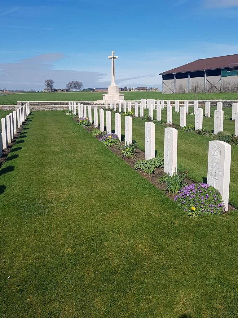
The Cross of Sacrifice is to the right of the main entrance on the right-hand side of the cemetery, enclosed by low level plants with a low wall running the length of the planted section.
The cemetery Register Box is inside the main gate on the left-hand side, built into the wall.
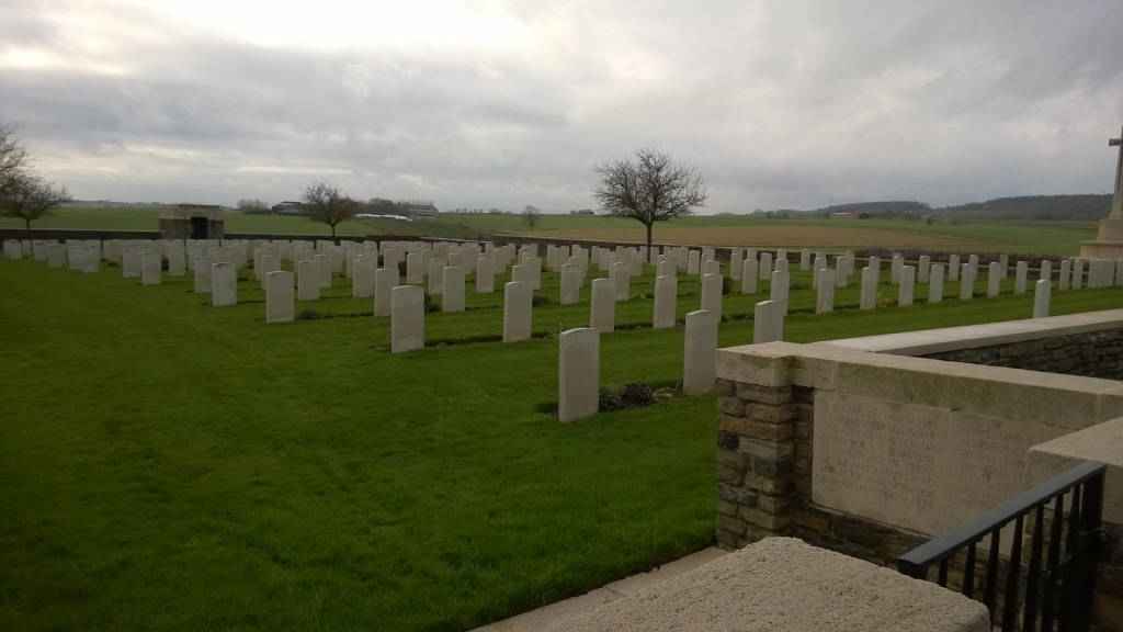
There is a stone shelter building at the bottom of the cemetery with stone benches inside. The grass is level with the paving.
All internal paths are grass, the ground is flat and firm.
ALTERNATIVE ACCESS
There is no alternative access into the cemetery.
ADDITIONAL INFORMATION
The cemetery is permanently open.
Be aware that this site is within a working farm and there may be agricultural vehicles in operation.
History information
Wulverghem (now Wulvergem) was the scene of a German gas attack on the night of 29-30 April 1916 which was repulsed by the 3rd and 24th Divisions. The village was captured by the Germans on 14 April 1918 and reoccupied by the 30th Division on the following 2 September.
'POND FARM' was in the fields about 800 metres East of Packhorse Farm, and on the North-West side of Pond Farm is the Cemetery. The cemetery was begun by the 3rd Rifle Brigade and the 8th Buffs in July 1916 and it was used by fighting units and field ambulances until October 1917. Further burials were made in April and September 1918.
There are now 296 Commonwealth servicemen of the First World War buried or commemorated in this cemetery, including special memorials to three casualties of the 1st/7th Cheshires, buried here early in September 1918, whose graves could not be found. The cemetery also contains five German war graves.
The cemetery was designed by Charles Holden.


