Barlin Communal Cemetery Extension
- Country France
- Total identified casualties 1117 Find these casualties
- Region Pas de Calais
- Identified casualties from First World War
- GPS Coordinates Latitude: 50.46546, Longitude: 2.61675
Location information
Barlin is a village about 11 Kms south-west of Bethune on the D188, between the Bethune-Arras and Bethune-St. Pol roads, about 6.5 Kms south-east of Bruay. The Communal Cemetery and Extension lie to the north of the village on the D171 road to Houchin.
Visiting information
The Commonwealth War Graves Commission cemetery is in the centre of the communal cemetery.
ARRIVAL
The cemetery is located on Chemin St. Bertin (D171) at the north end of the town of Barlin.
The cemetery has a grass bank running along the front along the main road. The entrance to the cemetery is in the centre of the bank.
PARKING
It is possible to park alongside the civil cemetery wall to the left of the CWGC section, approximately 40 metres from the entrance. The ground is a mixture of tarmac and compacted gravel.
There is a paved cark park for the civilian cemetery approximately 130 metres to the right of the CWGC section. The ground is flat and firm with a tarmac surface. There is no footpath along the main road alongside the cemetery, and vehicles drive past at speed.
There is additional parking at the opposite end of the civil cemetery, with multiple parking spaces.
Both car parks have direct access into the civil cemetery through gates approximately 1 metre wide. These gates may be closed outside normal opening hours for the civil cemetery.
ACCESS LAYOUT AND MAIN ENTRANCE
The main entrance is in the centre of the cemetery facing the main road. There is a steep grass bank between the road and the burial area on either side of the main entrance.
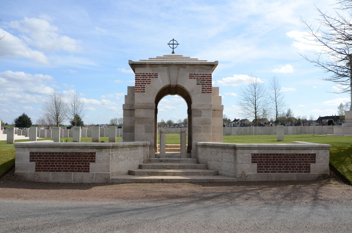
The main entrance is a stone and brick memorial arch. There is compacted dirt and gravel between the road and the steps leading up into the cemetery. There are 5 stone steps leading up to the arch, with 2 stone bollards in the gap at the top of the steps. The opening between the bollards is approximately 500 mm.
Once through the arch, an additional two steps lead up into the burial area.
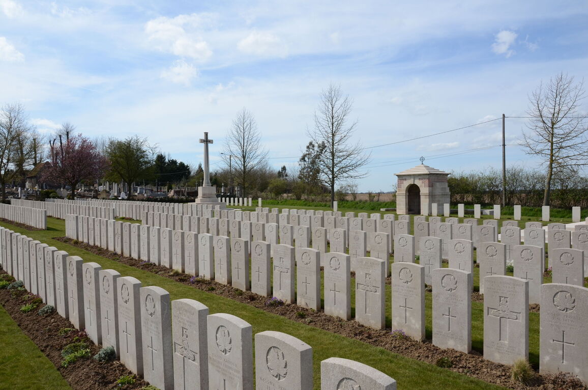
The Cross of Sacrifice is to the right of the main entrance, near the front of the cemetery.
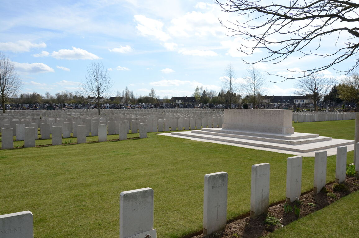
The stone of Remembrance is to the left of the main entrance, in line with t Cross of Sacrifice.
The Register Box is built into the right inside wall of entrance building, above a stone bench.
Internal paths are grass and the ground is flat and firm.
ALTERNATIVE ACCESS
Along the right side of the CWGC section, approximately 150 metres from both car parks, there is a service entrance, with a 90-centimetre wide, thigh height, (mid-level) green timber gate. The opening latch is on the top left of the gate, and the gate opens into the cemetery. This gate is on the west side of the cemetery.
There is a 5-centimetre step down at the gate from a gravel path inside the civil cemetery onto a flagstone slab inside the CWGC cemetery.
ADDITIONAL INFORMATION
The CWGC cemetery is permanently open. The gates to access the civil cemetery may be closed outside normal working hours.
History information
The extension was begun by French troops in October 1914 and when they moved south in March 1916 to be replaced by Commonwealth forces, it was used for burials by the 6th Casualty Clearing Station. In November 1917, Barlin began to be shelled and the hospital was moved back to Ruitz, but the extension was used again in March and April 1918 during the German advance on this front.
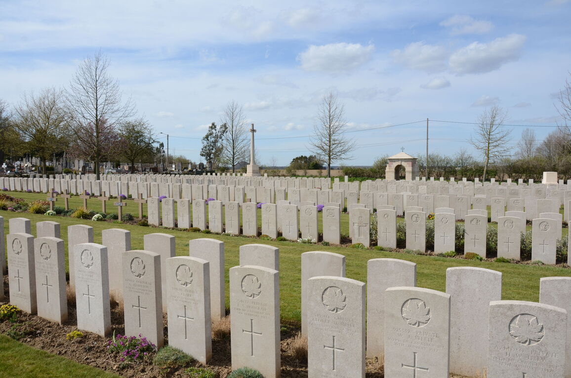
The extension contains 1,095 Commonwealth burials of the First World War, 2 being unidentified. There are 63 French and 13 German burials including 2 unidentified.
The extension was designed by Sir Edwin Lutyens.


