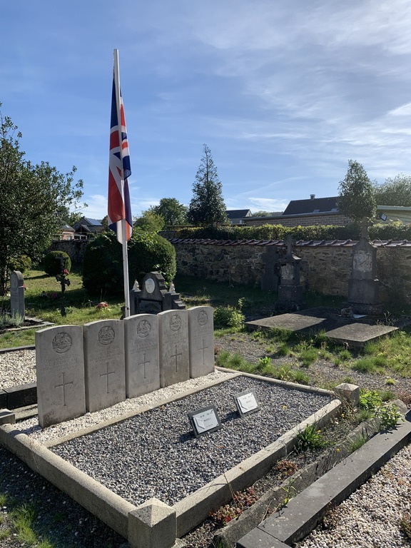
Desnie Churchyard
- Country Belgium
- Total identified casualties 5 Find these casualties
- Region Liege
- Identified casualties from First World War
- GPS Coordinates Latitude: 50.46091, Longitude: 5.80987
Location information
The village of Desnie is located south-west of the town of Verviers on the N606. From the motorway E40 which runs between Brussels and Aachen turn off at the junction with the E42 and follow the E42 direction Verviers. Turn off the E42 at junction 8 and onto the N657 direction Theux. In the village of Theux turn right onto the N62 direction Louveigne and follow the N62 to the junction with the N606. Turn onto the N606 direction La Reid and go through La Reid to Desnie. On entering the village of Desnie look for the church and the cemetery is behind the church. The graves are located just inside the entrance.
History information
Desnie Churchyard contains five Commonwealth burials of the First World War, all men of the 1st Battalion Royal Berkshire Regiment who died in an incident in December 1918.


