Spy Communal Cemetery
- Country Belgium
- Total identified casualties 1 Find these casualties
- Region Namur
- Identified casualties from First World War
- GPS Coordinates Latitude: 50.48284, Longitude: 4.70025
Location information
The village of Spy is located west of the town of Namur on the N912. From the motorway E42 which runs between Charleroi and Liege turn off at junction 13 onto the N93/N912 direction Namur. Follow the N912 direction Spy, follow the N912 to the crossroads in Spy and turn left towards Moustier along Rue De L'Hospice, turn second right into Rue Des Campagnes and the cemetery is along on the right. The graves are located along the path left from the entrance then first path right on the right.
History information
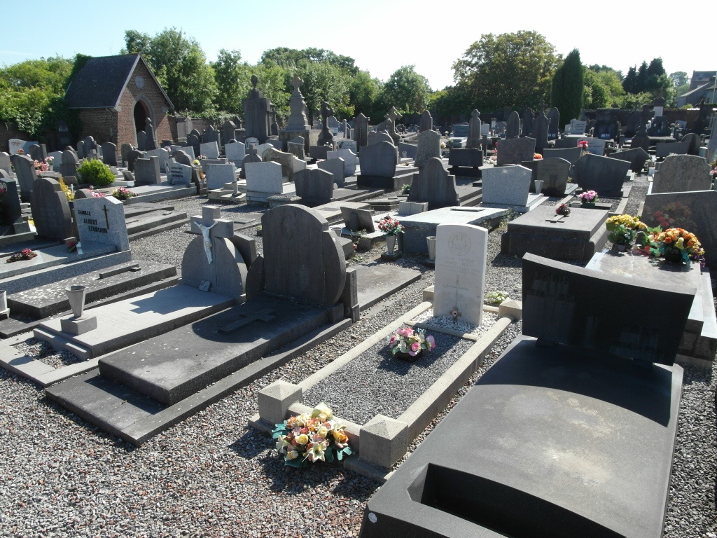
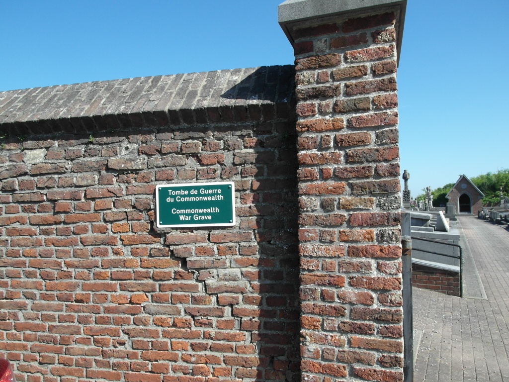
Spy Communal Cemetery contains one Commonwealth burial of the First World War.