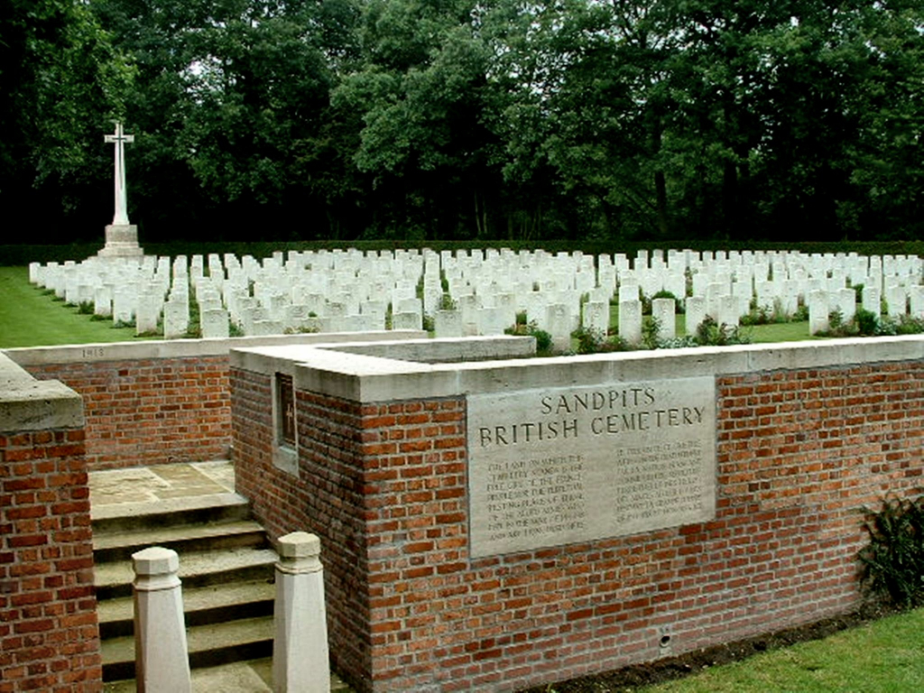
Sandpits British Cemetery, Fouquereuil
- Country France
- Total identified casualties 395 Find these casualties
- Region Pas de Calais
- Identified casualties from First World War
- GPS Coordinates Latitude: 50.51575, Longitude: 2.58528
Location information
Fouquereuil is a small village in the Department of the Pas- de-Calais between Bethune and Bruay la Buissiere. Leave the village on the D181 heading towards Gosnay. 1.5 kilometres from the church turn right onto Rue des Potieres. After 200 metres turn left and pass under the Motorway. The cemetery is 400 metres from the Motorway bridge slightly to the north, on the edge of a woodland.
Visiting information
Wheelchair access to this site is possible via a signposted long grassed path to the service entrance of the cemetery.
History information
The cemetery was begun by XIII Corps at the outset of the German advance in April 1918, and continued to be used by them until September 1918.
There are now 394 First World War burials in the cemetery.
The cemetery was designed by Sir Edwin Lutyens.


